- Circular route
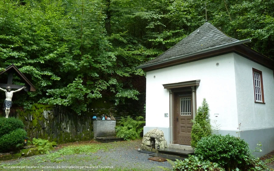
Winter hiking trail from Bad Fredeburg to the Buchhagen Chapel
Tour starting point:
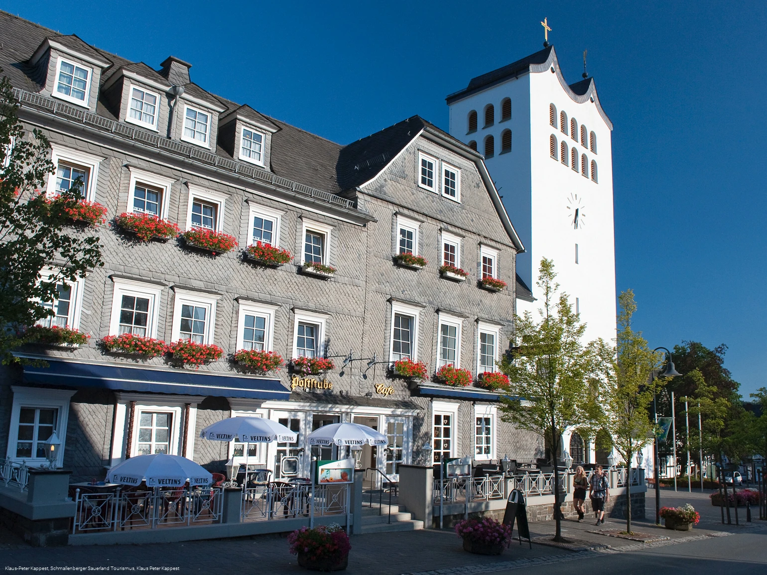
Church square hiking board, Bad Fredeburg
Tour destination point:
Church square hiking board, Bad Fredeburg
Properties:
Additional Information
You can find places to stop for refreshments in Bad Fredeburg at http://www.bad-fredeburg.de/.
No refreshments available during the hike.
Category
Winter hikingLength
4.9 kmDuration
1:30 hElevation ascent
194 mElevation descent
194 mLowest point
424 mHighest point
559 mCondition
Difficulty
Information
Directions
Kirchplatz hiking board - cross the road at the crosswalk in the immediate vicinity of the hiking board and follow BF 1. The path leads down the Mothmecke to the left-hand bend. Keep right here and after a few meters follow the path to the left downhill towards the mini golf course. Keeping to the right, you reach the road "An der Lied". Leave the BF1 here. Keep right and walk up the street "An der Lied" until you reach Buchhagenweg. Follow Buchhagenweg and continue straight ahead uphill (approx. 800m) until you reach the forest. Stay on the wide path, which leads you on a relatively flat stretch for a good 700 m to the "Buchhagen" hiking parking lot. Now keep left to follow the A4 for approx. 600 m in the direction of the Buchhagen chapel. After a short ascent, keep left on a path and follow the wide, flat path to the Buchhagen Chapel. Take the same route back to the starting point of your hike.
Safety guidelines
Maps
Schmallenberg hiking map on a scale of 1 : 25,000 / Bad Fredeburg hiking map on a scale of 1 : 20,000
