- Culinary interesting
- Family friendly
- Culturally interesting
- Refreshment stop
- Circular route
- Signage
- Tour with dog
- Good public transport connections
- Mostly sunny
- free of charge / accessible at any time
The "Castle Route" in and around Kallenhardt
Tour starting point:
Gateway to the Sauerland-Waldroute at St. Clemens Church in Rüthen-Kallenhardt
Tour destination point:
Gateway to the Sauerland-Waldroute at St. Clemens Church in Rüthen-Kallenhardt
Properties:
Additional Information
www.sauerland-waldroute.de
www.ruethen.de
www.kallenhardt.de
Category
regionaler WanderwegLength
9.7 kmDuration
2:39 hElevation ascent
292 mElevation descent
292 mLowest point
294 mHighest point
421 mCondition
Difficulty
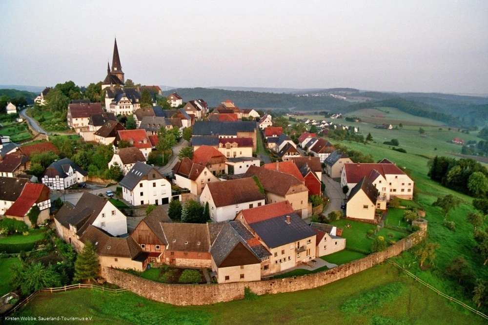
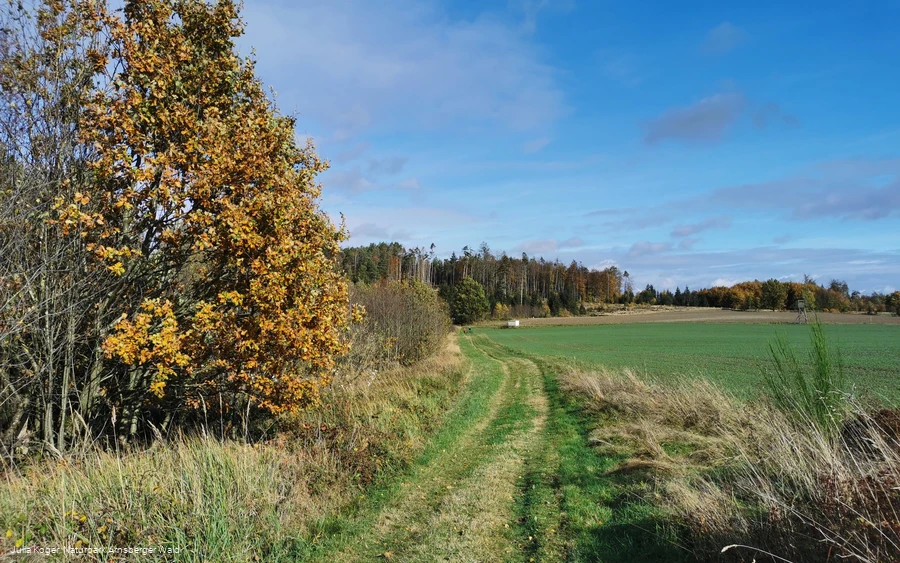
A route full of sights, but always surrounded by the impressive nature of the Arnsberg Forest Nature Park.
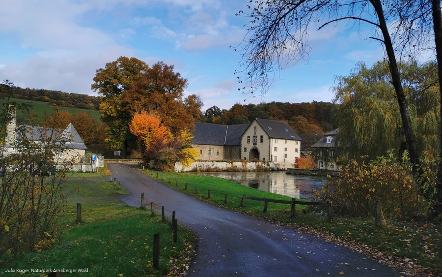
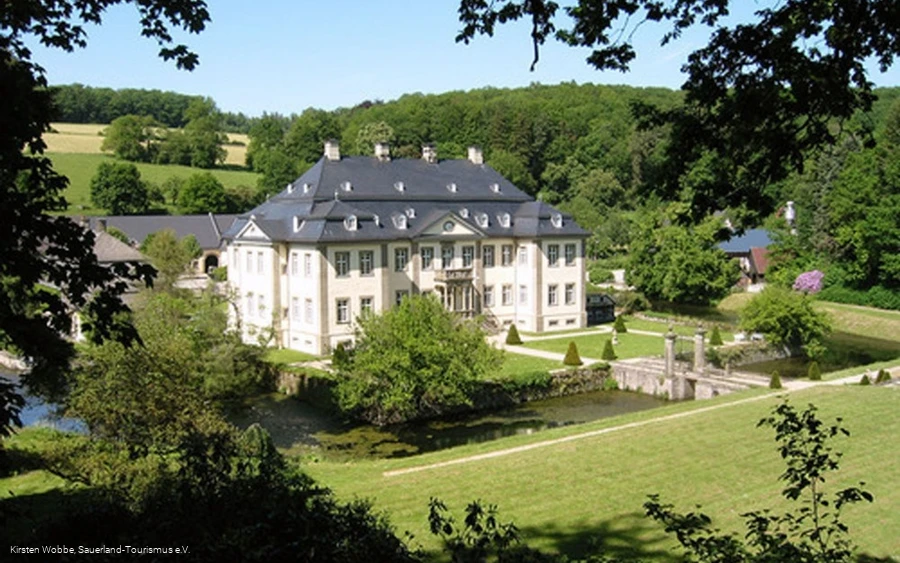
Whether it's the historic town hall or the baroque Wasserschloß Körtlinghausen - there's a lot to discover here.
But architectural novelties also await the interested hiker along the way.
Go on a little journey through time in and around the former Electorate of Cologne mountain village of Kallenhardt and round off the day with typical regional delicacies (Romatikhotel Knippschild and WanderBar). Or discover the local art of distilling directly on site in the Sauerländeredel distillery!
Information
Directions
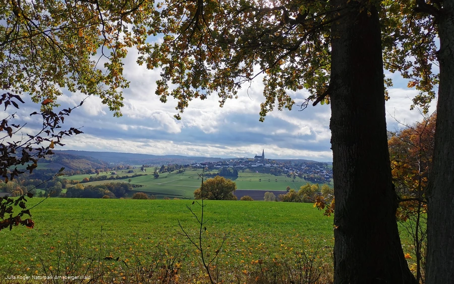
The start of the castle route is the corresponding "gateway" to the Sauerland-Waldroute at St. Clemens Church in Kallenhardt. Here you can enjoy a wonderful view of the Arnsberg Forest Nature Park with its extensive forests and the "thousand mountains." We now walk down Kirchstraße and always follow the route signposts (= white W on a green background). At Hinter der Mauer, we turn right and walk down the steps to the former Untere Steinpforte, keep left and then follow the road there.To the right and left of the path, we come across lovingly restored half-timbered houses. After approx. 400 m, we reach the first attraction of our stage: the almost 200-year-old former manor house. A special friend of this house is one of Germany's most famous contemporary artists, Otmar Alt, whose work and creations can be seen in the outdoor area with variously designed objects. We walk down the valley, where after approx. 350 m the baroque Wasserschloß Körtlinghausen can be seen in the distance. There is an information board on the right-hand side of the path which provides you with the most important information about the origins and significance of the old castle complex.As you make your way along the old avenue to Körtlinghausen, you will be enchanted by the charm and glorious history of this noble residence, which has belonged to the Barons of Fürstenberg for around 200 years. Picturesquely surrounded by old moats, Körtlinghausen lies before you with its well-tended terraced gardens and the characteristic rhododendron bushes that shine from afar in May/June. Linger for a few minutes at the mighty gatehouse to the castle and enjoy the view of the entire complex, a particularly charming example of Baroque Westphalian architecture from the mid-18th century. In the inner courtyard of the former manor is a small organic farm store run by the von Bonin family. They have been managing the agricultural part of the estate with its 182 hectares according to organic Demeter guidelines since 1980. The dairy herd forms the heart of the livestock farming. The annual quota of 260,000 liters of milk is currently produced by 50 dairy cows. Continue along the ascending asphalt path (following the route signs). On the right are the stables and other farm and residential buildings on the estate. With a bit of luck, you may see the "farm pigs" wallowing in the neighboring meadows. Walking steeply uphill, a charming panoramic view of the mountain village of Kallenhardt awaits you after approx. 1 km.Walking along the edge of the forest, you can see the Rüthen diocesan center of the German Scout Association of St. George (DPSG) at Eulenspiegel at 399 m above sea level. In 1966, this leisure and recreation area between Rüthen and Kallenhardt was initially opened as a simple tent meadow with a small washing facility. Over the years, it has been developed into a youth education center (46 beds) with full catering facilities and a youth campsite with a capacity for 600 people. The house and campsite are available for youth and children's groups, school classes and kindergartens as well as family groups. In 2017, the imposing and architecturally impressive chapel was consecrated by Archbishop Becker after several years of construction (opposite the main building). For more information, please refer to the information board below the DPSG, approx. 10 m before you leave the dirt road and meet the paved road at Eulenspiegel.Follow this road, cross the L776 district road and continue following the signposts. We encounter recognizable damage from hurricane "Kyrill" (2007) on our further way: large, newly planted deciduous tree cultures on the left hand side of the forest path are supposed to heal the "storm wounds". We are now immersed in dense coniferous and deciduous forests. The giant trees, some of which are over 150 years old, provide shade and coolness.In the summer months, we are accompanied by countless forest flowers such as the cranesbill or the European seven-star at the edge of the path. The attentive hiker can discover a very old badger's den on the left-hand side (after the third bend). Once you reach the "Kalvarienberg" with its historic Way of the Cross, turn right and walk down the steps past the expressive wayside shrines. At the foot of the mountain, an information board about the "Kalvarienberg" awaits you on the left.We now walk along the L 776 on the right and cross under it through a 50 m long tunnel. The small river Glenne rushes past us here as a noisy torrent. Now follows a steep climb up to the mountain village of Kallenhardt. Approx. 200 m before we reach the village, there is an information board on the right pointing to the "Höhle am Kattenstein" cave. With a passage length of over 200 meters, it is one of the most important and beautiful natural caves in the northern Sauerland. As part of the "Natura 2000" nature conservation network, the Kattenstein Cave even has European protection status and has been owned by the BUND-NRW nature conservation foundation since 2008. If you need more information, just follow the dirt road on the left for about 200 meters. The area around the cave has been attractively landscaped by BUND (Lörmecketal local group) and invites you to linger. A wonderful view of the nature park awaits you.Back at the information board, follow the signposts until you reach the oldest town hall in the district of Soest, dating back to the 15th century, which is also one of the oldest in Westfalen. Kallenhardt was founded as a town in the second half of the 13th century, and the mayor and magistrate exercised their constitutional rights in the town hall for more than 500 years.The pillory, also known as the pillory of shame or "Kak", once stood right next to the building. Convicted offenders were put on display there by the electoral judge and publicly "denounced" for their misdeeds. Walking along Kirchstraße, we finally reach our destination, the "gateway" to the Sauerland-Waldroute at St. Clemens Church.Now take advantage of one of the many inviting restaurants in the village and spend a few cozy hours with typical local drinks and dishes in the old Kurkölnischen Bergveste Kallenhardt.
Equipment
Safety guidelines
Author Tip
Baroque Wasserschloß Körtlinghausen with Demeter farm and farm store
Siechenkapelle
Kattenstein cave (information board)
Sauerland distillery
Romantic Hotel Knippschild
WanderBar (at the Hotel Knippschild)
Literature
Maps
Adventure hiking guide Sauerland-Waldroute (ISBN 9783942309035)
Both maps published by Standpunkt-Verlag GmbH
Public transit
Stop: Kallenhardt Ort
