- Suitable for baby carriages
- Refreshment stop
- Circular route
Brilon forest fairy trail
Tour starting point:
Parking lot opposite Landgasthof Gruß
Tour destination point:
Parking lot opposite Landgasthof Gruß
Properties:
Additional Information
www.tourismus-brilon-olsberg.deCategory
regionaler WanderwegLength
3.1 kmDuration
1:30 hElevation ascent
38 mElevation descent
38 mLowest point
482 mHighest point
517 mCondition
Difficulty
Our forest in the Sauerland is experiencing stormy times. Hurricanes before and after the major event of Kyrill in 2007 hit it hard and caused serious damage. The forest fairy trail on the Hängeberg provides a deeper insight into the forest habitat in the past, present and future.
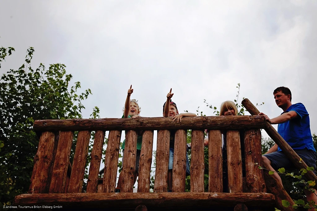
The forest fairy trail is an ideal family hiking trail with a length of 3 km and an easy-to-walk route with highly interesting stations for children and adults. The forest fairy as a symbol of the Brilon forest provides interactive and informative suggestions and food for thought to help you understand this important natural area on our doorstep through the ages.
If you want to walk longer, you can tackle the Geologischer Sprung themed trail - the start/finish is identical to that of the forest fairy trail.
Information
Directions
From the parking lot with the information board, cross the road past Landgasthof Gruss. At the next fork in the road, take the left-hand gravel path. After approx. 100 meters you reach the 1st station - the tree mikado. Then follow the short ascent clockwise in the direction of station 2. Then follow the "little forest fairy" around the Hängeberg until you reach the 1st station again.
Equipment
Safety guidelines
There are two shelters along the way (at station 8).
Author Tip
The path is suitable for baby carriages - but the surface is gravel, so pneumatic tires are recommended.
Literature
The most beautiful hiking trails in Brilon & Olsberg (available from the Brilon and Olsberg tourist information offices)
Maps
Public transit
How to get there
Southern outskirts of Brilon, at the intersection of the B251 and L870 roads
Parking
Hikers' parking lot opposite Landgasthof Gruß.
