Winter hiking trail Nordenau -Sonnenpfad - Brakenhütte

#deinsauerland / Neusta Touren / Winter hiking trail Nordenau -Sonnenpfad - Brakenhütte
short circular route


2445774

Tour starting point:

Heinrich-Köppler-Platz (village center) Nordenau

Tour destination point:

Heinrich-Köppler-Platz (village center) Nordenau

Properties:

  • Circular route

Category

Wintertour

Length

2.6 km

Duration

0:45 h

Elevation ascent

51 m

Elevation descent

51 m

Lowest point

582 m

Highest point

633 m

Condition

Difficulty

Recommended seasons

J F M A M J J A S O N D

Short circular route via the Sonnenpfad, the Brakenhütte and the Schützenhalle back to the starting point.

Burgruine Rappelstein


2445455

Burgruine Rappelstein is located above Nordenau church in the center of the village.

Read More

Church of St. Hubertus, Nordenau


2445745

The church is located below the old castle and has a main altar, which is ornately decorated with many figures.

Read More

Nordenau-Touristik e. V.


2445457

Haus des Gastes of Nordenau-Touristik.

Read More

Schützenhalle Nordenau


2445459

Schützenhalle der Schützenbruderschaft St. Hubertus 1920 e.

Read More

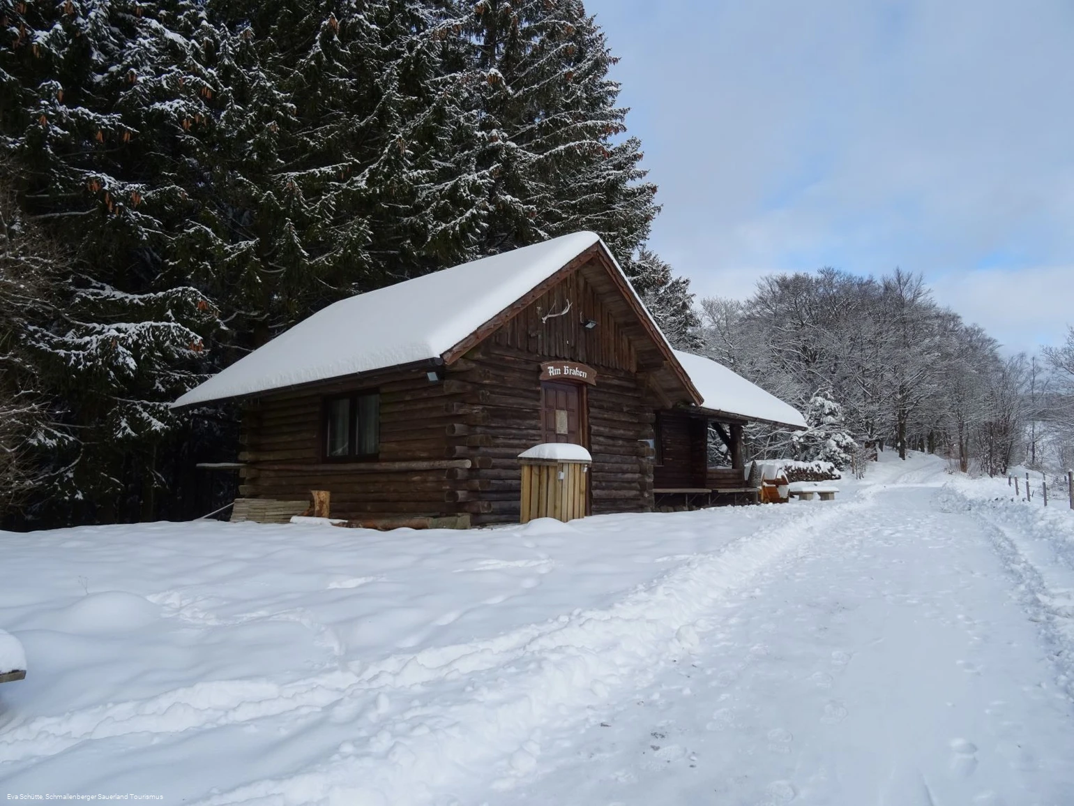
Brakenhütte


2445460

Private Hütte, in deren Nähe sich Bänke befinden, die zu einer Rast einladen.

Read More

0 km 0.5 km 1 km 1.5 km 2 km 2.5 km 550 m 575 m 600 m 625 m 650 m 675 m 700 m 588 639

Information

Directions

The starting point is Heinrich-Köppler-Platz (church square) in the center of the village. From there, walk along the Sonnenpfad (X27) to the end of the asphalt road. The path forks here, keep right and continue along the path. After a tight right-hand bend, you can see parts of the village of Lengenbeck on the left through tall spruce trees. The viewpoint is also known as the Lengenbeck Alps. Follow the path further up to the refuge on the Braken. From here you can enjoy a wonderful view of a large part of the village. From the hut, follow the path on the right, which remains at the same altitude and leads parallel to the Sonnenpfad trail back to Nordenau (past the village's Schützenhalle).

Equipment

Sturdy shoes and clothing suitable for the weather are recommended.

Safty guidelines

Use of the winter hiking trails is at your own risk. Please note that the paths can be slippery and slippery in places despite being cleared. The winter hiking trails are usually cleared after 10 cm of fresh snow.

Maps

Schmallenberg hiking map, scale: 1 : 25,000
Public transiot

Take the express bus line S 40 to the starting point in the village center of Nordenau (church stop). The S 40 runs from Schmallenberg via Nordenau and Winterberg to Niedersfeld. The journey is free with the SauerlandCard.

Getting there

Nordenau is located on the K 18 in a traffic-calmed, yet central location. The two centers of Schmallenberg and Winterberg are both about 12 km away and can be easily reached.

Parking

Parking is available in Nordenau, e.g. in the parking lot at the entrance to the village (coming from the valley) or in the center of the village near the glass containers (signposts Parken Burg).

Interesting places in the neighbourhood

Wir binden die Videos der Plattform “YouTube” des Anbieters Google LLC, 1600 Amphitheatre Parkway, Mountain View, CA 94043, USA, ein. Datenschutzerklärung: https://www.google.com/policies/privacy/, Opt-Out: https://adssettings.google.com/authenticated.