- Suitable for baby carriages
- Family friendly
- Refreshment stop
- Suitable for winter
- Accommodation option
- free of charge / accessible at any time
Winter hiking on the Hennesee
Tour starting point:
Parking lot at the Ruhrverband, Am Hennesee 6
Tour destination point:
Knaus Camping Park, Mielinghausen
Properties:
Additional Information
You can ask the Ruhrverband (Tel. 0291-902290) for the current condition of the path.
Category
WintertourLength
8.2 kmDuration
2:08 hElevation ascent
11 mElevation descent
25 mLowest point
320 mHighest point
345 mCondition
Difficulty
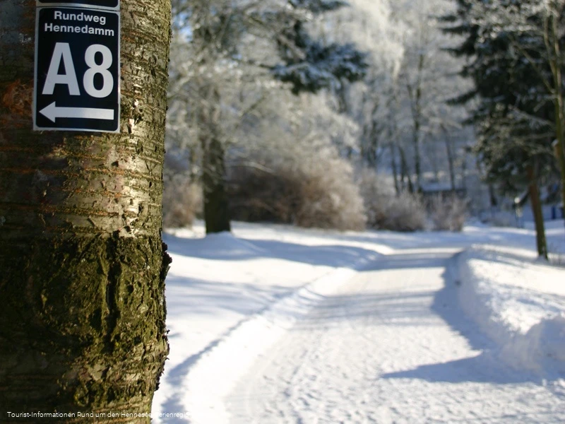
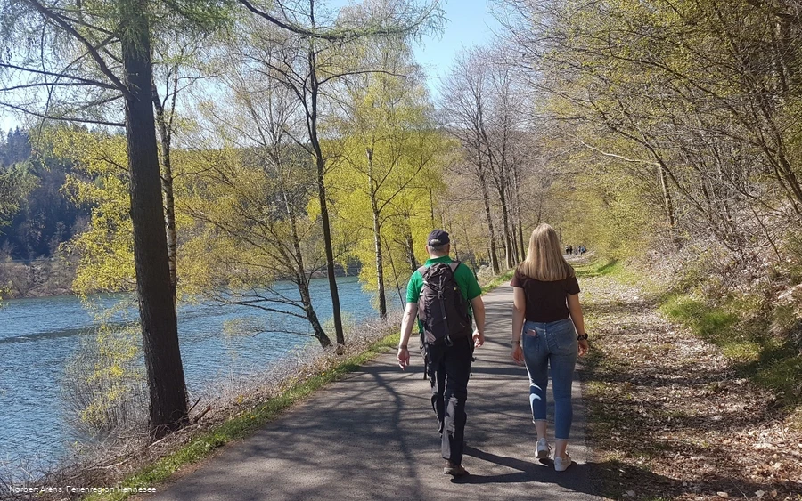
Enjoy a walk through the winter landscape at the Hennesee. The approx. 8 km long hiking trail along the eastern shore of the Hennesee is popular with walkers. The path is considered a "forest path" and is therefore not cleared of snow in winter. In snow and ice, you should only walk with suitable footwear.
Even in the winter months, you can walk part of the route on board the EMS Hennesee from Friday to Sunday.
If you do not return by boat, the route is 2x8 - i.e. 16 km!
However, you can Wenden at any time and only walk part of the route.
Attention: Any ice on the Hennesee must not be walked on. Danger to life!
Information
Directions
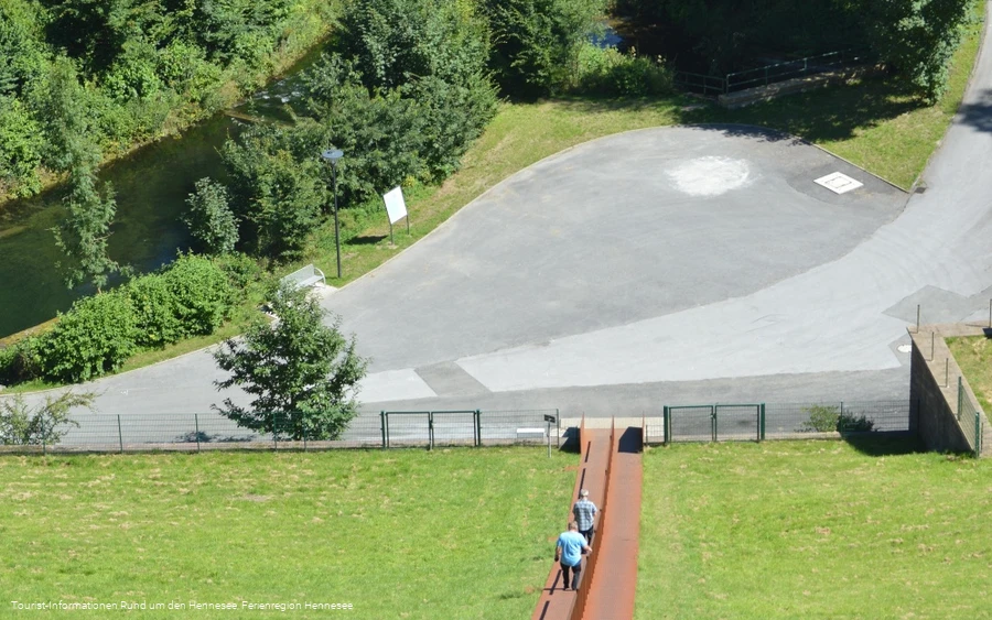
From the parking lot next to the Ruhrverband (road: Am Hennesee), we walk past the tennis courts and then down to the Hennedamm. We cross the dam - with a stop at the Himmelstreppe, of course - and then turn right onto the lakeside path. This is car-free and a popular walking route. From here, we follow the lakeside path and reach the camping park on the southern shore of the Hennesee after approx. 7 km.
Equipment
Author Tip
Maps
The hiking map has a scale of 1:30,000 and is GPS-accurate. Regional hiking trails and local circular hiking trails are marked. The back of the map contains information on excursion destinations, places to stop for refreshments and leisure tips, as well as an overview of the circular hiking trails with lengths and tour tips for the individual places.
The map material is weatherproof, tearproof and wipeable. The individual hiking maps are available at the "Around the Hennesee" tourist information offices. They can also be ordered from bookshops throughout Germany.
https://www.hennesee-sauerland.de/sauerland/freizeit/wanderwege/wanderkarten-bestwig-meschede/


