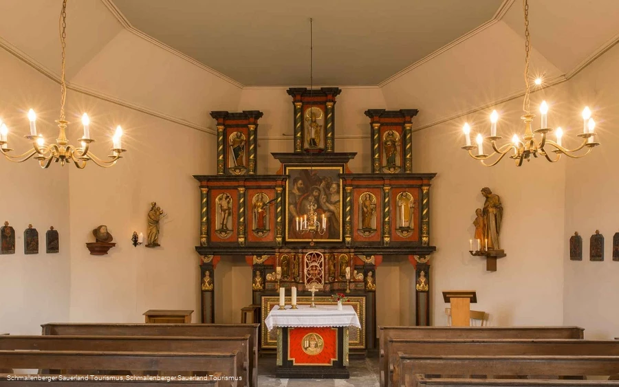
Way of St. James in the Schmallenberg Sauerland

#deinsauerland / Neusta Touren / Way of St. James in the Schmallenberg Sauerland

Hike along the Way of St. James / Heidenstraße from Altastenberg to Elspe.


2445573


2445496


2445497


2445498


2445523


2445574


2445581


2445575


2445576


2445586


2445587

Tour starting point:

Altastenberg

Tour destination point:

Elspe Church

Properties:

  • Culturally interesting
  • Refreshment stop

Category

Themenweg

Length

35.5 km

Duration

10:00 h

Elevation ascent

588 m

Elevation descent

1071 m

Lowest point

271 m

Highest point

780 m

Condition

Difficulty

Recommended seasons

J F M A M J J A S O N D

This tour takes you along the Way of St. James / Heidenstraße for the most part through the Schmallenberg Sauerland from Altastenberg to Elspe.

Hikers' parking lot Astenbergerstraße Westfeld


2445378

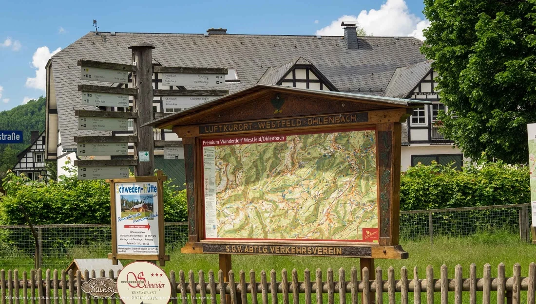
The hiking board in Westfeld on Astenbergstraße.

Read More

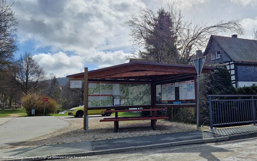
Westfeld hiking portal, town center


2445573

Starting point Sauerland Wanderdörfer region - Westfeld, village center.

Read More

Hiking portal and Westfeld hiking parking lot


2445574

Starting point for hikes around Westfeld.

Read More

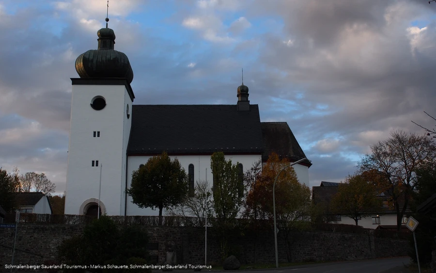
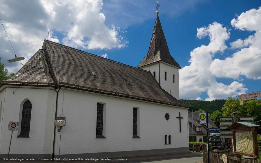
Church of St. Blasius, Westfeld


2445575

St. Blasius Church in Westfgeld was built in 1878.

Read More

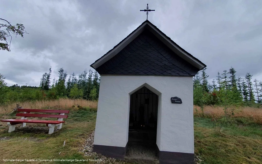
Antoniushäuschen


2445496

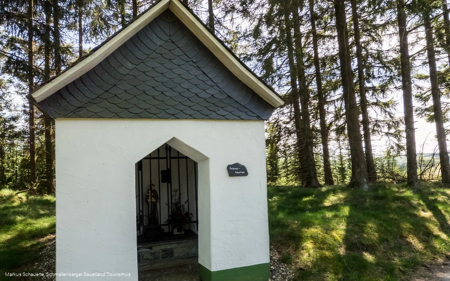
Wayside shrine between Oberkirchen and Westfeld.

Read More

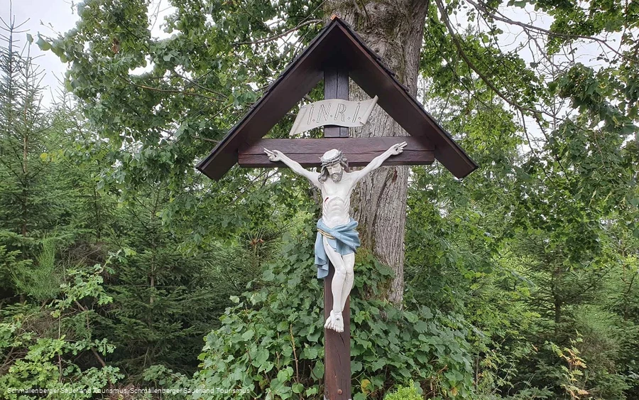
Crossroads on the Graftenberg


2445576

For many years, the wayside cross on the Graftenberg served as a cemetery cross in Westfeld.

Read More

Photo route Oberkirchen (Station 17): Distant view


2445875

▶ TO VIDEO: Station 17 "Tripod use"

Read More

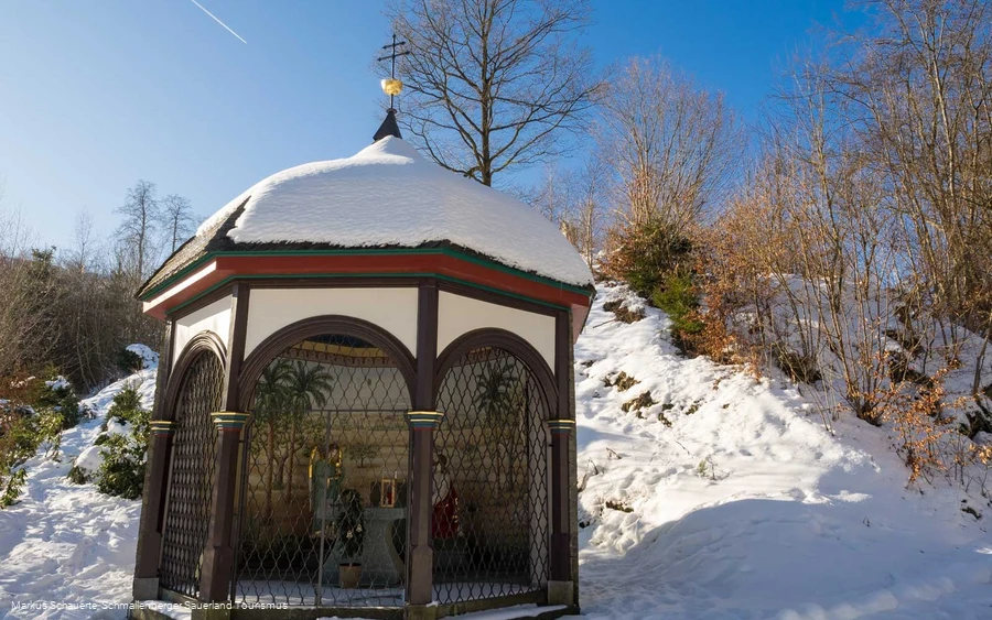
Wayside shrine to the blood-sweating Savior


2445498

Wayside shrine "Zum Blutschwitzenden Heiland" in Oberkirchen

Read More

Hiking information Winkhausen


2445577

Hiking information at the Sorpe stream, at the Hotel Deimann in Winkhausen.

Read More

Wild 13" playground in Gleidorf


2445579

The "Wild 13" playground in Gleidorf with a climbing frame, swings and slides is located directly on the SauerlandRadring.

Read More

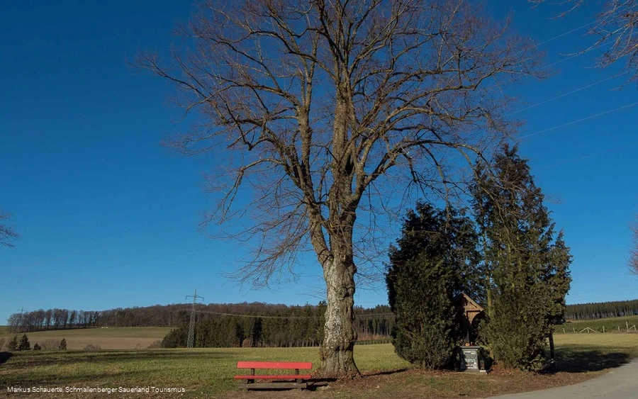
Dicke Linde


2445581

At the "Dicke Linde" there is a large lime tree, a hiking signpost, a wayside shrine and a bench from which you can enjoy a beautiful view of Schmallenberg.

Read More

Sauerland leisure world

Fun and thrills for all ages and all weathers.

Read More

Robbecke hiking parking lot


2445583

The hiking parking lot is located near the Schmallenberg school center, the Sauerland leisure world and the tennis courts.

Read More

Hikers' parking lot at Wormbach Berg


2445378

The hiking parking lot is located at the Wormbach Berg sports field.

Read More

Rennefeld airfield


2445584

Experience the Schmallenberg Sauerland from a bird's eye view!

Read More

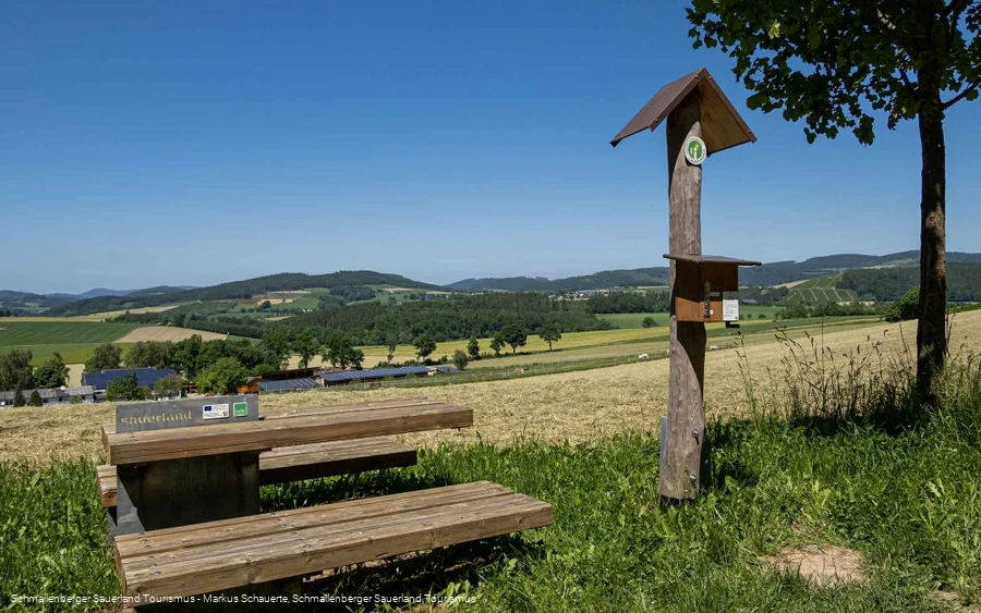
Lauschpohl No. 7 / Giant bench near Felbecke


2445586

The "Hawerland" has always been characterized by agriculture.

Read More

Lauschpohl No. 8 / Selkentrop Chapel


2445524

Why do people go on pilgrimage? What meaning did it have back then and what meaning does it have today?

Read More

Lauschpohl No. 9 / Heilgenhäuschen above Werntrop


2445524

Holy houses and wayside crosses were built as a sign of deep piety and often out of gratitude or on the occasion of special events.

Read More

Church of St. Marien Bracht


2445523

Parish church St.

Read More

Lauschpohl No. 11 / Heidenstraße - Kriegerweg - Napoleon - Charlemagne


2445524

This is where the former "Heidenstraße" and the so-called "Kriegerweg" meet.

Read More

0 km 10 km 20 km 30 km 300 m 400 m 500 m 600 m 700 m 800 m 275 783

Information

Directions

Always follow the shell, the hiking sign of the Way of St. James.

Equipment

We recommend sturdy footwear and sufficient food and drink for your hike.

Safety guidelines

A rescue point system has been installed in the Hochsauerland district. Rescue points can be found on the information boards at junctions and on hiking signs.

Maps

Schmallenberg Sauerland hiking map, scale: 1 : 25,000
Eslohe vacation region hiking map, scale: 1 : 25,000

Public transit

Guests with a valid Schmallenberg Sauerland Card can use public transport free of charge!


Timetable information for public transport: www.rlg-online.de


Timetable information for the hiking bus and information about the Schmallenberg Sauerland Card: www.sauerland-card.de
Interesting places in the neighbourhood

Wir binden die Videos der Plattform “YouTube” des Anbieters Google LLC, 1600 Amphitheatre Parkway, Mountain View, CA 94043, USA, ein. Datenschutzerklärung: https://www.google.com/policies/privacy/, Opt-Out: https://adssettings.google.com/authenticated.