Way of St. James in the Eslohe vacation region

#deinsauerland / Neusta Touren / Way of St. James in the Eslohe vacation region

Way of St. James (Sauerland-Camino) from Remblinghausen to Elspe.


2445562


2445563


2445566


2445590


2445592

Tour starting point:

Remblinghausen Church

Tour destination point:

Elspe Church

Properties:

  • Culturally interesting
  • Refreshment stop

Category

Themenweg

Length

31.2 km

Duration

8:05 h

Elevation ascent

615 m

Elevation descent

729 m

Lowest point

270 m

Highest point

501 m

Condition

Difficulty

Recommended seasons

J F M A M J J A S O N D

This tour takes you on the Way of St. James / Sauerland-Camino for the most part through the Eslohe vacation region from Remblignausen to Elspe.

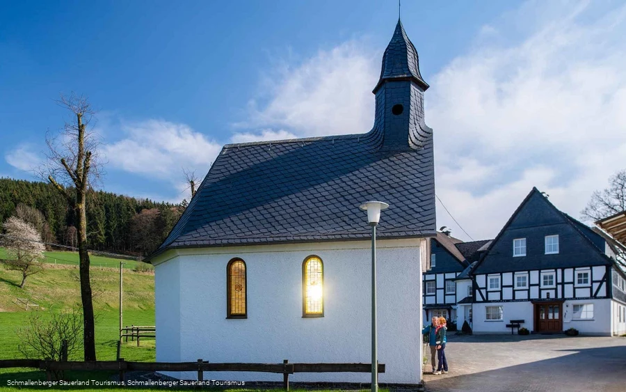
Chapel of St. Lorenz Herhagen

Village chapel from 1949.

Read More

Hiking information Reiste


2445561

Starting point Region Sauerland Wanderdörfer - Eslohe-Reiste.

Read More

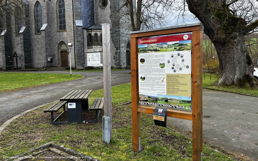
Church of St. Pankratius, Reiste


2445562

The parish church of St. Pankratius in Reiste was built in 1852.

Read More

Hiking portal and hiking parking lot Reiste


2445565

Starting point for hikes around Reiste, e.g.

Read More

St. Antonius Bremke parish church


2445373

The St. Antonius parish church in Bremke was built in 1965.

Read More

Bus stop Bremke church


2445488

Buses on route R69 run between Schmallenberg Habbel and Eslohe bus station.

Read More

Kapelle am Friedhof Husen
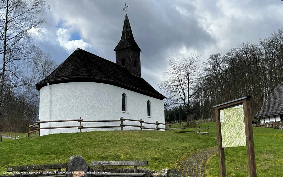
Chapel of St. Antonius Isingheim


2445373

Listed chapel dedicated to St. Anthony from 1762.

Read More

"Höhen Kreuz" wayside cross
Kapelle St. Georg Obermarpe
0 km 10 km 20 km 30 km 250 m 300 m 350 m 400 m 450 m 500 m 550 m 274 504

Information

Directions

Always follow the shell, the hiking sign of the Way of St. James.

Equipment

We recommend sturdy footwear and sufficient food and drink for your hike.

Safety guidelines

A rescue point system has been installed in the Hochsauerland district. Rescue points can be found on the information boards at junctions and on hiking signs.

Maps

Hiking map of the Eslohe vacation region: Scale 1 : 25,000

Public transit

Guests with a valid Schmallenberg Sauerland Card can use public transport free of charge!


Timetable information for public transport: www.rlg-online.de


Timetable information for the hiking bus and information about the Schmallenberg Sauerland Card: www.sauerland-card.de
Interesting places in the neighbourhood

Wir binden die Videos der Plattform “YouTube” des Anbieters Google LLC, 1600 Amphitheatre Parkway, Mountain View, CA 94043, USA, ein. Datenschutzerklärung: https://www.google.com/policies/privacy/, Opt-Out: https://adssettings.google.com/authenticated.