- Suitable for baby carriages
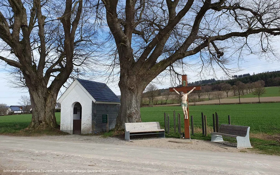
Walk to the wayside shrine 14 Nothelfer
Stroller, rollator and wheelchair accessible walk to the 14 Nothelfer wayside shrine and back.
Tour starting point:
Hiking portal at the Fleckenberg Schützenhalle
Tour destination point:
Hiking portal at the Fleckenberg Schützenhalle
Properties:
Category
regionaler WanderwegLength
3.5 kmDuration
1:00 hElevation ascent
55 mElevation descent
55 mLowest point
362 mHighest point
416 mCondition
Difficulty
The tour leads along asphalt paths, past meadows and fields to the 14 Nothelfer wayside shrine between Fleckenberg and Schmallenberg.
Information
Directions
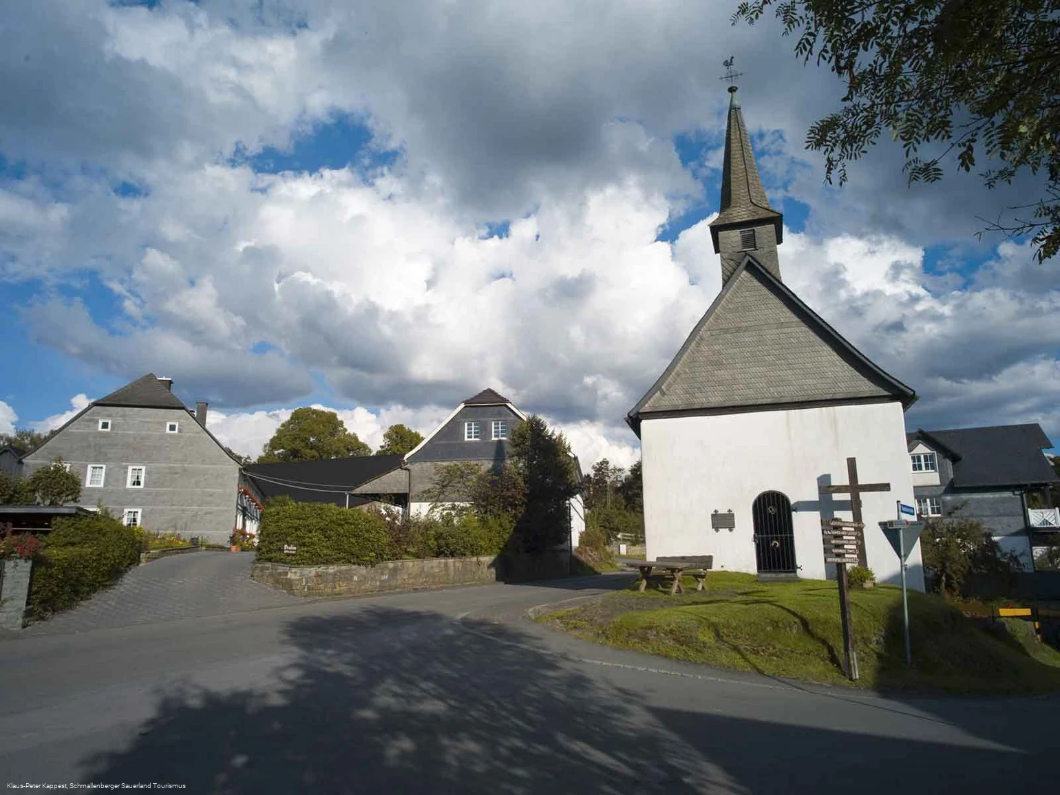
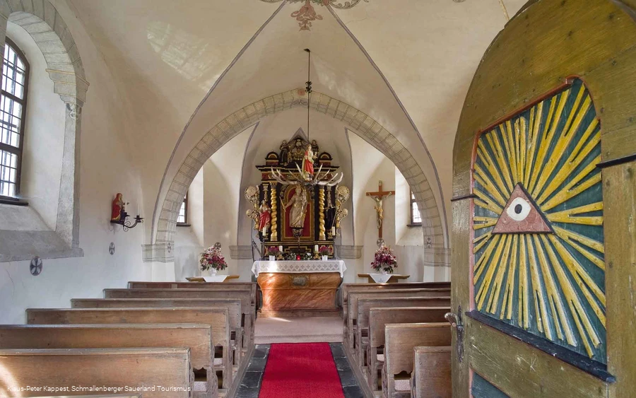
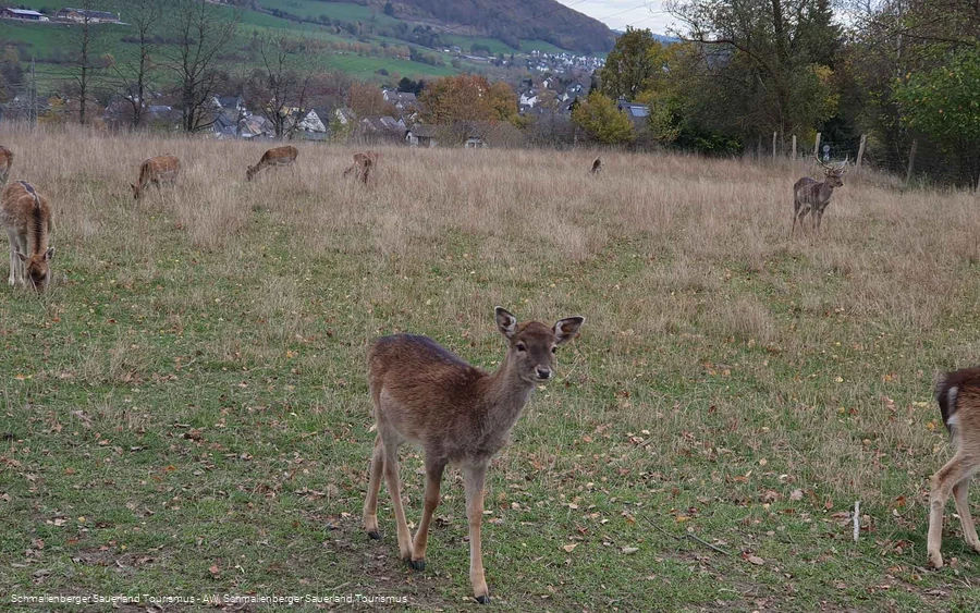
At the hiking sign, take "Latrop Straße" towards the chapel in Oberfleckenberg, past the Landhotel Gasthof Hubertus. At the chapel, stay on the path and turn left behind it into the street "Im Spiepen". Follow this road to the 14 Nothelfer wayside shrine. Benches invite you to rest here.If you wish, walk a few more meters. You will now come to a junction (on the left). There you will find the fallow deer enclosure (depending on which Weide the animals are on, please follow the path uphill), you can also enjoy a beautiful view of Schmallenberg and the Wilzenberg.The same path now leads us back to Fleckenberg.
Equipment
We recommend that you bring sturdy shoes and sufficient food and drink.
Safety guidelines
A rescue point system has been installed in the Hochsauerland district. Rescue points can be found on the information boards at the junctions and on the hiking signs.
If you would like to do the tour with a wheelchair or baby carriage, please check whether the height profile is suitable for you.
Author Tip
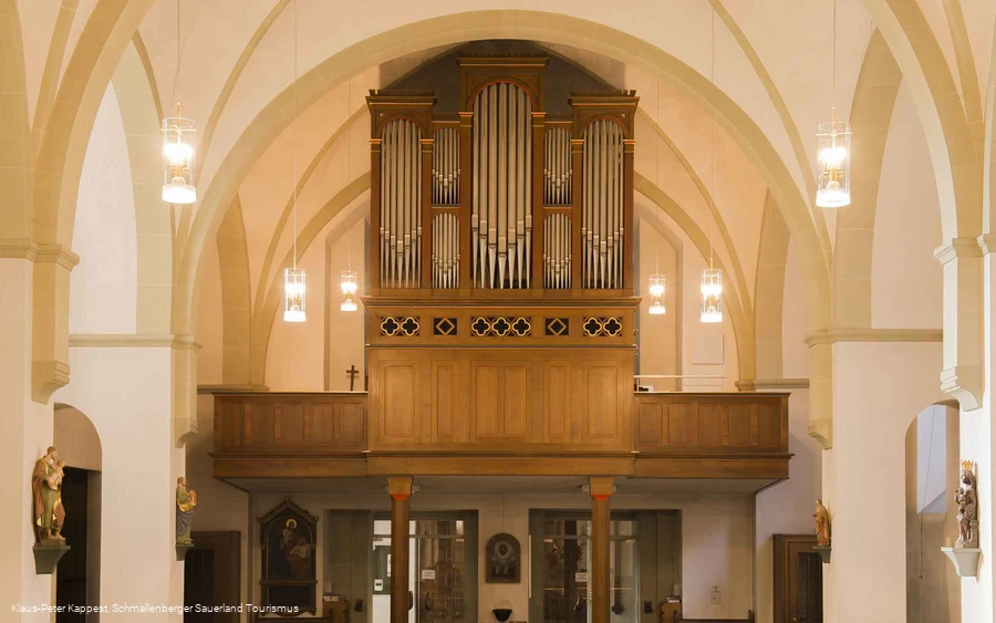
Visit the parish church of St. Antonius Einsiedler in Fleckenberg, with its historic Ibach organ.
Maps
Hiking map Schmallenberg Sauerland, scale 1 : 25,000, Hiking map Fleckenberg
Public transit
The SB9 and 466 bus lines as well as the Schmallenberg Sauerland hiking bus operate in Fleckenberg (see separate timetable).
Timetable information: www.rlg-online.de.
With the Schmallenberg Sauerland Card you can use the public transport in the region free of charge, the hiking bus with a small additional payment.
How to get there
The village of Fleckenberg is located on the B236 near Schmallenberg.
Parking
Free parking is available at the Schützenhalle Fleckenberg, Latrop Straße 22 b.
