- Family friendly
- Refreshment stop
- Circular route
VolmeSchatz - puzzle adventures for young and old
Exciting puzzles about the Oben an der Volme region in the Märkisches Sauerland await all hikers young and old on the "VolmeSchatz - puzzle fun for young and old" themed hiking trail.
Tour starting point:
Karlshöhe Halver
Tour destination point:
Karlshöhe Halver
Properties:
Additional Information
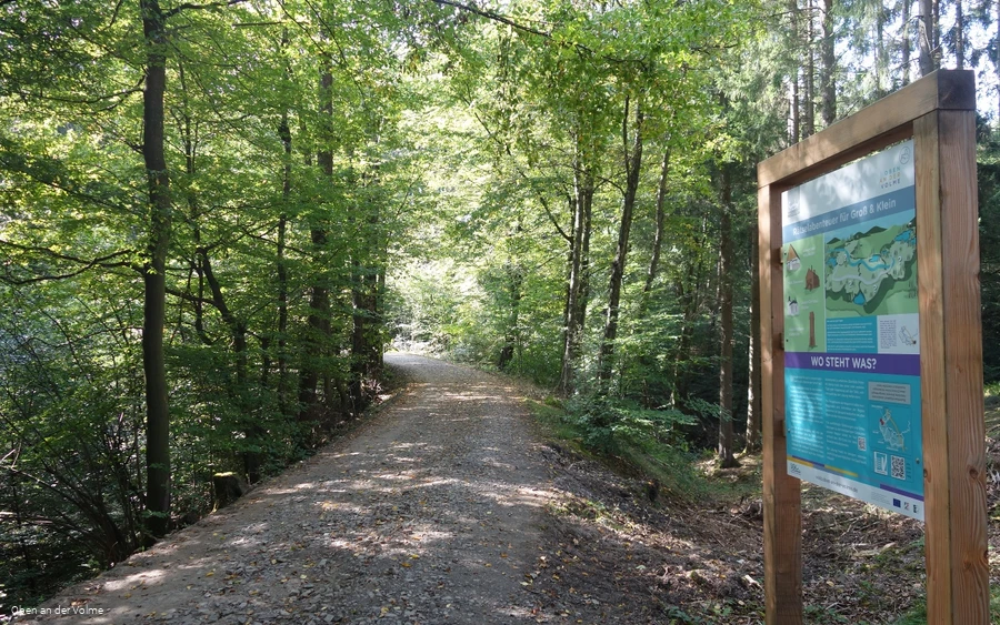
There is a QR code on each (themed) information board, which you can use to call up the route and details of the trail. Selected information boards are equipped with an additional QR code. Exciting additional digital information is waiting to be discovered by you.
As guests in the forest, we show understanding, respect and correct behavior to ensure the use, protection and recreation of our forest.
Category
ThemenwegLength
9.1 kmDuration
2:31 hElevation ascent
173 mElevation descent
172 mLowest point
318 mHighest point
435 mCondition
Difficulty
The themed leisure trail - VolmeSchatz - puzzle fun for young and old - leads hikers through the beautiful Herpine and Halver valleys, starting at Karlshöhe in Halver, along a variety of trails, on which there are always hiking theme boards with tricky puzzles about the region. The route also takes you past various local leisure facilities and opportunities, from the climbing forest to the riding stables. A great, somewhat more challenging leisure trail for young and old.
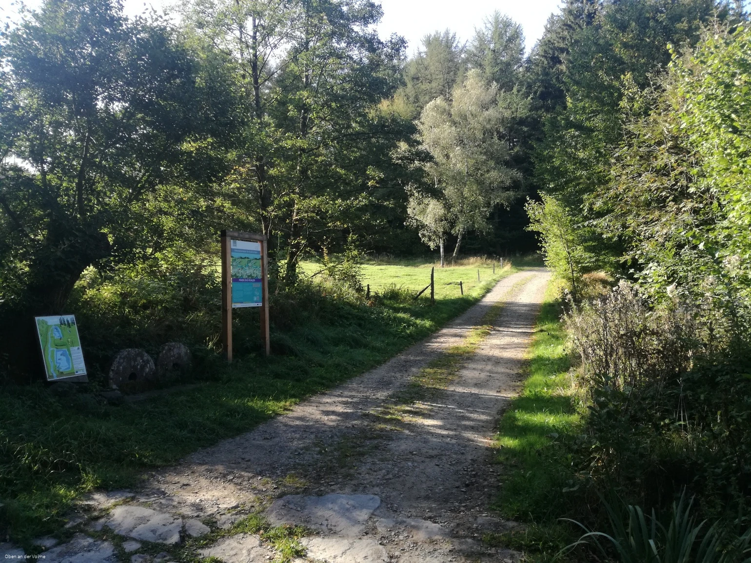
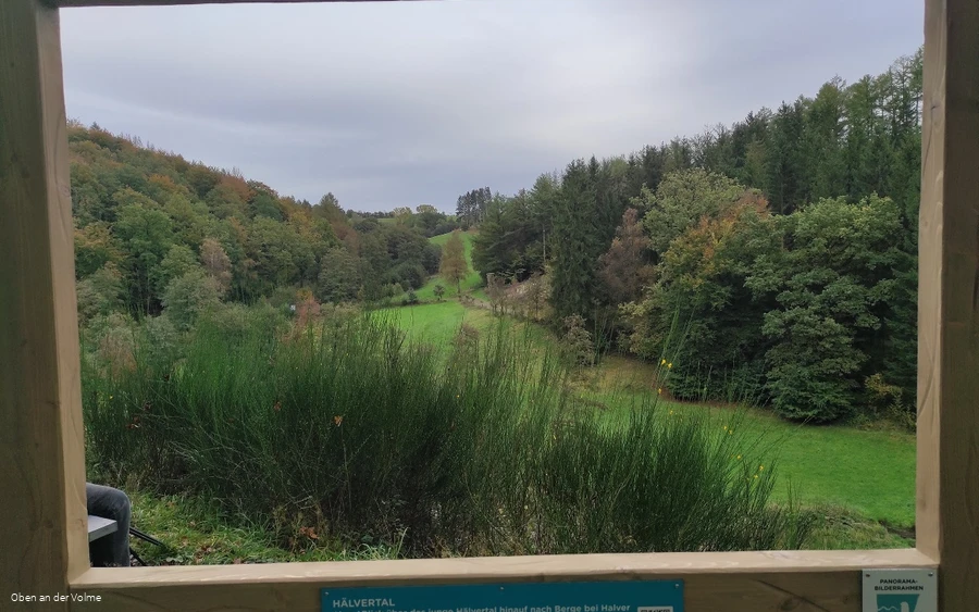
Special features along the way: in addition to the information boards with exciting information and sometimes QR codes for further videos or audio tracks, you can also discover a panoramic picture frame along the way.
Information
Directions
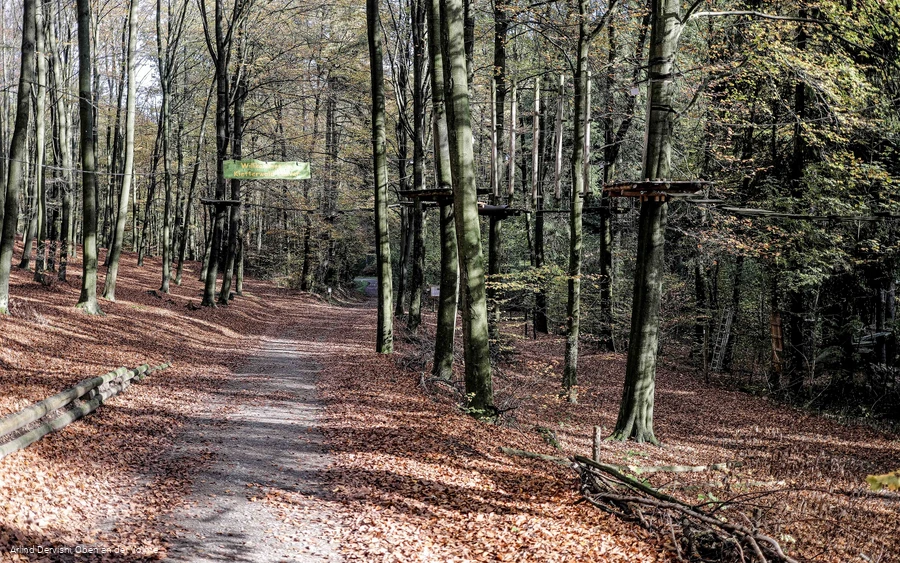
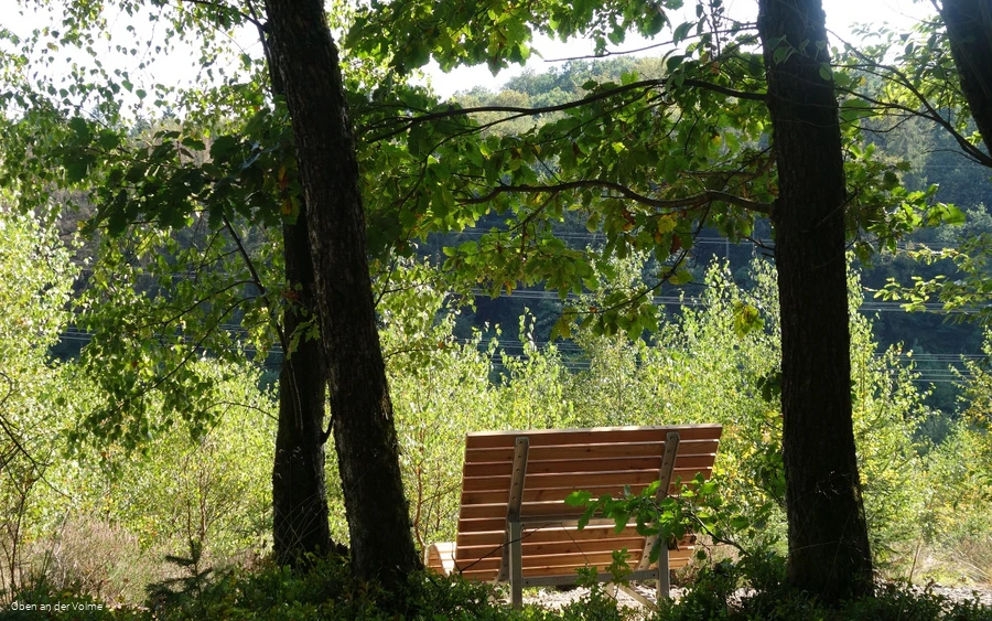
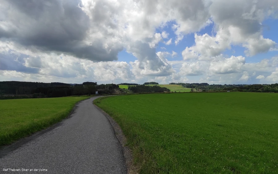
On the way through the small town of Halver, on an old railroad embankment, along forest paths and on a small road that almost resembles a panoramic road, you reach this VolmeSchatz. Due to its length, it is a little more challenging, but still ideal for a short hiking experience.Trail conditionsRoad & asphalt: 4.1 km - Gravel path: 3.4 km - Nature trail: 1.2 km - Path section: 0.4 kmWe start at the Karlshöhe in Halver, marked by the Aussichtsturm Karlshöhe. We now descend along a side road towards Herpinetal. Before we see the Herpine leisure center on our right, we follow the path straight ahead into the forest.A path now leads us through the small stream valley before we reach another residential area. We follow Falkenstraße and turn back towards the forest at the bend; this is also where the Eichelkamp Naturerlebnispfad begins. The route runs along an old Schleifkottenbahn track and the first puzzles await hikers along the way. Turning right, we now cross the still young Hälvertal valley and reach a larger crossroads; another exciting riddle board awaits us and a bench invites us to linger. From here, the path leads us up towards the mountains. Once at the top, we now follow the asphalt path past the riding stables in the direction of Schmidtsiepen; a wonderful distant view (with a riddle board) awaits us here along the hiking route. After reaching the small settlement, the path bends right again into the forest and leads us along idyllic fish ponds back into the Herpinetal. The fitness trail, climbing forest and the forest outdoor pool are now along our route before the path leads back up to the starting point, Karlshöhe.
Equipment
The leisure map and the dam flyer Oben an der Volme will help you solve the tricky puzzles. You can obtain these from the local tourist information offices and municipal offices.
Safety guidelines
First aid: In an emergency, dial the emergency number 112 and state the rescue point number. Rescue points are access points marked in the forest for rescue vehicles. If the nearest rescue point is not known, your location can be called up directly via AML (Advanced Mobile Location) during the emergency call.
Author Tip
Combine the hike with an experience at one of the leisure facilities along the way, such as mini golf (Frankfurter Straße 95a, Tel. 02353/13596, sterngolf-brocksieper@t-online.de) or the Herpine forest outdoor pool (Herpiner Weg 17, tel. 02353/12766). A refreshment stop is available at the start and finish of the hike in the Restaurant Cattlemen's (Frankfurter Straße 95, Tel. 02353/669960) at the start and finish of the hike.
Literature
Hiking map Oberes Volmetal - Second edition - ISBN number 9 783866 369207
Maps
The trail flyers for the individual VolmeSchatz hiking trails are available at the local tourist information offices and other distribution points in the region.
Public transit
The town of Halver is connected to the MVG route network. You can find an overview of the bus connections around Halver here: https: //www.mvg-online.de/.
You can also reach the Halver district of Oberbrügge by train with the RB25. The center of Halver is approx. 6 km away from here.
How to get there
The Karlshöhe in Halver is centrally located at the junction of the L528 and L892, clearly visible from the Aussichtsturm Karlshöhe. The varied hike starts from here.
Parking
Parking is available "on the head" of the Karlshöhe, attached to the local leisure center with sports and riding arena.
