- Refreshment stop
- Circular route
Valbert circular trail (A2) - Kneipp'sche Spuren im Quellental
Tour starting point:
Hiking parking lot Quellental
Tour destination point:
Hiking parking lot Quellental
Properties:
Additional Information
As guests in the forest, we show understanding, respect and correct behavior to ensure the use, protection and recreation of our forest.
Category
regionaler WanderwegLength
3.4 kmDuration
0:59 hElevation ascent
108 mElevation descent
108 mLowest point
439 mHighest point
548 mCondition
Difficulty
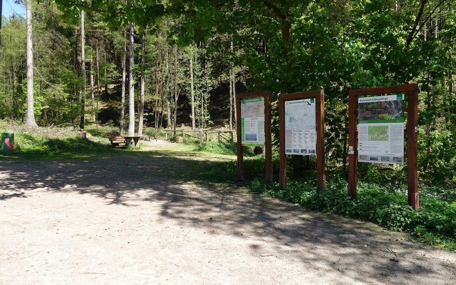
The starting and finishing point of the A2 circular hiking trail is the Quellental hiking parking lot in Meinerzhagen, located in the Oben an der Volme region in the Märkisches Sauerland. A first small highlight awaits hikers here: an Archimedes spiral, which makes the theme of water a playful experience along the course of the stream.
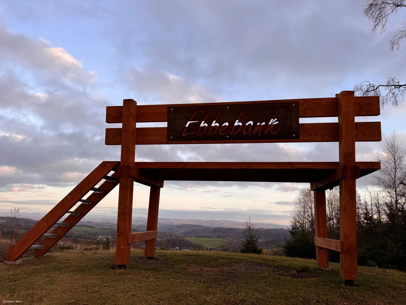
The trail then follows sections of the certified Sauerland-Höhenflug long-distance hiking trail and leads through varied forest and meadow landscapes at the foot of the Ebbegebirge mountains. At Koppenkopf, the circular trail passes a war memorial with a rest stop. There is also an XXL bench right in this area, which invites you to climb up and rewards you with a beautiful view over the district of Valbert - a popular photo spot and perfect place for a break.
Another highlight of the trail is the Kneipp facility in Quellental, which is located in the middle of nature right on the edge of the trail. Here you can refresh tired hiking feet before returning to the starting point.
The A2 circular hiking trail is an entertaining, natural and varied circular trail that is ideal for both leisure hikers and active sports enthusiasts.
All information without guarantee.
Information
Equipment
We recommend sturdy (hiking) footwear for this circular walk, as this is the best way to walk on the different surfaces. There are several rest stops along the way where you can take a short picnic break and the towel in your luggage will keep your feet dry after treading water in the Kneipp facility.
Safety guidelines
The section of the trail that runs along the Sauerland Höhenflug quality hiking trail in particular offers hikers a natural surface, which can be soft and slippery in certain weather conditions.
First aid: In an emergency, call the emergency number 112 and quote the rescue point number. Rescue points are marked access points in the forest for rescue vehicles. If the nearest rescue point is not known, your location can be called up directly via AML (Advanced Mobile Location) during the emergency call.
Author Tip
A towel should not be missing from your hiking luggage to use the Kneipp facility on this hike.
Maps
Hiking map Oberes Volmetal - Second edition - ISBN number 9 783866 369207
Public transit
With the RB 25Coming from Cologne or Lüdenscheid, get off at Meinerzhagen station. Change to the bus route R61 and then get off at the Hösinghausen bus stop. From here it is a 15-minute walk to the Quellental hiking parking lot.
Further bus connections can be found on the ZWS homepage.
How to get there
Arrival via the A45, Meinerzhagen highway exit, continue in the direction of Valbert / Attendorn. Shortly before reaching the district of Valbert, turn left into the village of Hösinghausen. Continue straight on until you reach the Quellental hiking parking lot.
Coming from the east (Attendorn), pass the Meinerzhagen district of Valbert and then turn right into the village of Hösinghausen. Continue straight on until you reach the Quellental hiking parking lot.
Parking
There is a free parking lot for hikers at the Quellental parking lot directly at the start and end of the hiking trail.

