- Nature highlight
- Culturally interesting
- Refreshment stop
- Multi-day tour
- Suitable for winter
- Accommodation option
- Signage
- Tour with dog
- Good public transport connections
- Expeditive (EPE)
- Adaptive Pragmatic (ADA)
Sauerland-Höhenflug: Meinerzhagen to Korbach
Bookable offers on the Sauerland-Höhenflug
Meinerzhagen - Valbert - Windhausen - Lenhausen - Weuspert - Wenholthausen - Bad Fredeburg - Altastenberg - Hallenberg - Medelon - Küstelberg - Düdinghausen - Korbach
Tour starting point:
Meinerzhagen, Schallershaus
Tour destination point:
Korbach, Eisenberg
Properties:
Additional Information
www.sauerland-hoehenflug.deService hotline of the Sauerland-Höhenflug: 02974 - 202 199
Category
FernwanderwegLength
203.5 kmDuration
51:00 hElevation ascent
4937 mElevation descent
4980 mLowest point
224 mHighest point
838 mCondition
Difficulty
Short overview Sauerland-Höhenflug
- 200 km from Meinerzhagen to Korbach can be hiked in stages
- Start and finish easily accessible by public transport
- Suitable for beginners to professionals
- There are one-day and half-day tours.
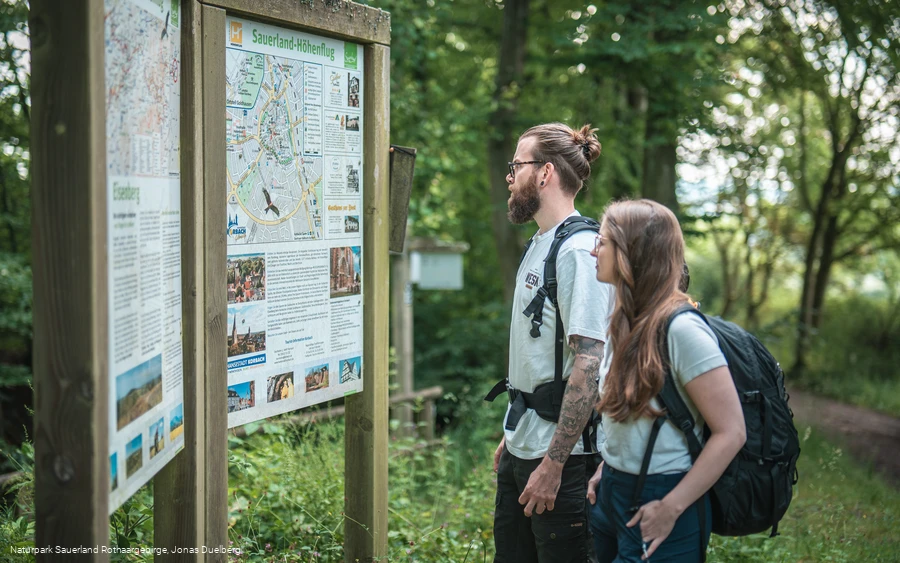
- Excellent signposting
- Rangers are constantly out and about on the Sauerland-Höhenflug and take care of guests and nature. Ranger hotline: 02972 / 9702 55
- The accommodation establishments along the route are geared towards hikers
Information
Directions
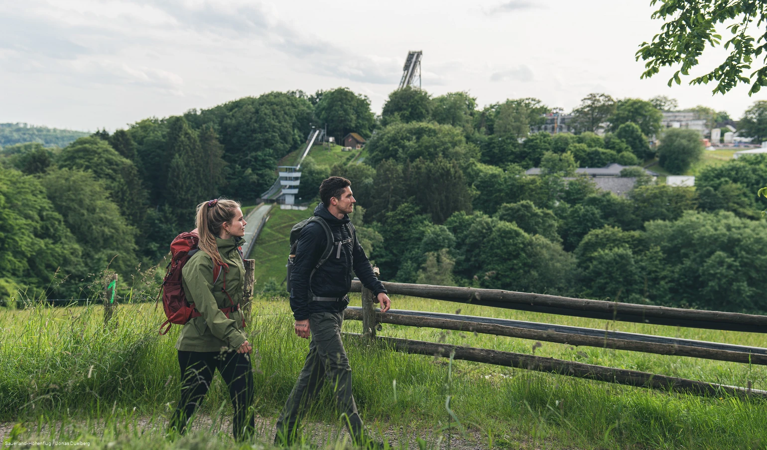
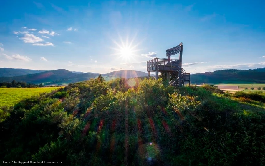
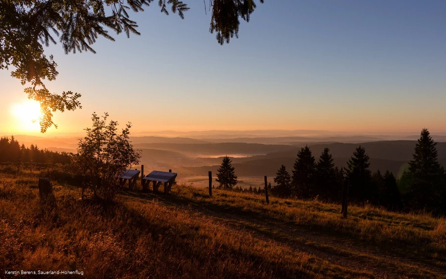
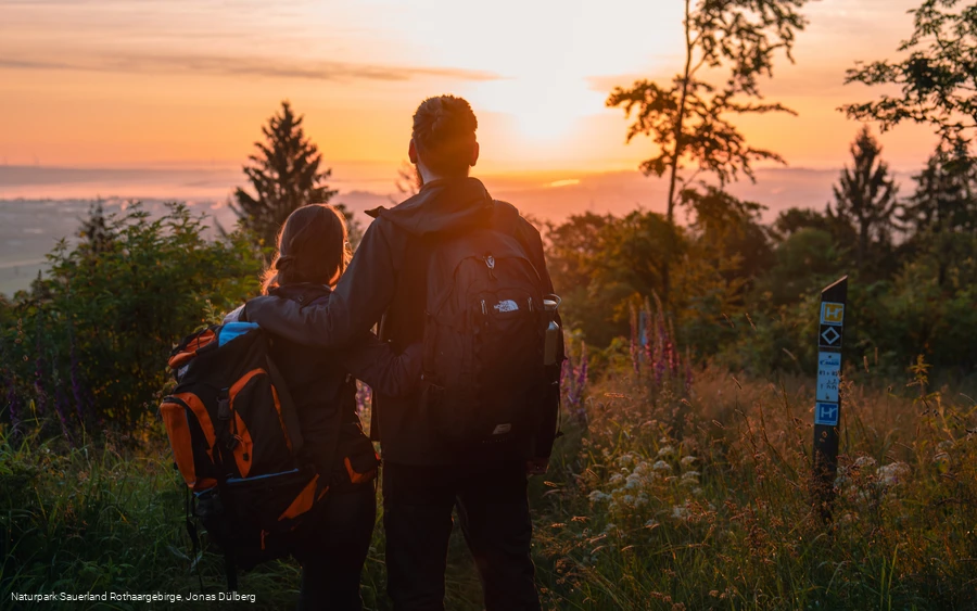
The long-distance hiking trail leads through the Sauerland Rothaargebirgen Nature Park and connects numerous sights, scenery and natural features along its individual stages.Nature lovers can look forward to fascinating nature experiences in the deep forests, in the upland moors on the slopes of the Medebach mountains, in the extensive pastures of the Upland, in the Hochheide on the Kahler Asten or in the mountain meadows of the Medebach Bay European bird sanctuary.Possible starting points for the Sauerland-Höhenflug are the Meinhardusschanze in Meinerzhagen, Burg Altena with the World Youth Hostel or Korbach with its romantic Altstadt,but the Sauerland-Höhenflug offers much more than fascinating landscapes and wonderful natural idylls. In the villages along the Sauerland-Höhenflug, the cultural and industrial history lives on today, as does the traditional rural bustle. Museums invite visitors to discover the history, industry and crafts of the region andto recharge their batteries on the Sauerland-Höhenflug - especially the incomparable views. Whether from the heights around Altena, from the Robert-Kolb-Turm on the Nordhelle, from the Hunau or the Kahle Pön near Düdinghausen, whether from the Quitmannsturm near Neuenrade, the Schombergturm near Wildewiese, the tower on the Kahler Asten near Winterberg, the Heidkopfturm near Hallenberg or the Georg-Viktor-Aussichtsturm near Korbach, hikers are rewarded with numerous panoramic views everywhere! And if you let your gaze wander over mountains and valleys, idyllic villages, forests, meadows, streams, rivers and lakes, you will realize that only flying is more beautiful!
Equipment
No special equipment required, sturdy shoes, rain protection and provisions are recommended
Safety guidelines
In an emergency, things have to move quickly! That's why the Sauerland-Höhenflug is equipped with so-called rescue signs throughout. The green and white plaques attached to the posts of the signposts have a number that you can give when making an emergency call. This means that the emergency services know exactly where you are and valuable time can be saved.
Author Tip
Literature
Maps
Public transit
For visitors from the Cologne area, the RB25 runs every hour from Cologne main station to Meinerzhagen, and for visitors from the Ruhrgebiet, the RB52 runs every two hours from Hagen main station to Lüdenscheid-Brügge and from there onwards with the RB25 to Meinerzhagen. The 1.5 km long access path takes you from the station and the town center to Schallershaus, the entrance to the Sauerland-Höhenflug.
Korbach:
In Korbach, there are connections to the ICE train station Kassel-Wilhelmshöhe and the Brilon-Wald train station. The access trail starts in the historic Altstadt of Korbach and takes you 4.5 km to the entrance portal on the Eisenberg.
How to get there
The town of Meinerzhagen is located in the immediate vicinity of the A 45, has its own freeway exit and can be reached from the Ruhrgebiet and from the Cologne/Aachen area in an hour's drive. Coming from the Ruhrgebiet, turn left at the first set of traffic lights to get onto the L306 n southern bypass, then stay right on Heerstraße past the Hotel-Restaurant "Am Schnüffel". From there it is about 800m to the Schallershaus entrance portal.
Coming from Olpe on the A45, turn right at the first set of traffic lights, get into the left-hand lane at the second set of traffic lights and then stay right on the L306 south bypass past the Hotel-Restaurant "Am Schnüffel".
The turn-off to the Schallershaus hiking parking lot is signposted.
Korbach:
You can reach the Korbach entry point from the north via the A44, Diemelstadt exit and then via the B252. From the south, follow the A 485 to Gießener Nordkreuz - via Marburg and Frankenberg you will reach Korbach.
Parking
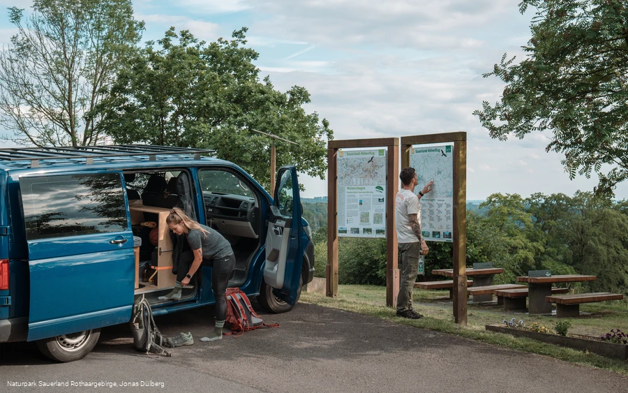
Parking is available in Meinerzhagen at the Schallershaus hiking parking lot, directly at the entrance to the Sauerland-Höhenflug (GoogleMaps coordinate: 51.099453,7.65324). For long-term parking (only on Fridays with a parking disc), there are also parking spaces behind the town hall in Meinerzhagen town center (GoogleMaps coordinates: 51.108022, 7.640709)
Korbach:
Hikers' parking lot at the Eisenberg portal (GoogleMaps coordinate: 51.253777,8.833476).
