- Family friendly
- Culturally interesting
- Circular route
Rahrbacher PoesieWeg - with poetry to me and nature
Tour starting point:
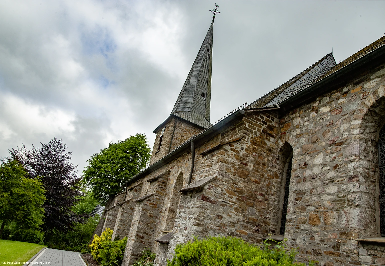
Church in Kirchhundem-Rahrbach (Zur Hardt, 57399 Kirchhundem)
Tour destination point:
Church in Kirchhundem-Rahrbach (Zur Hardt, 57399 Kirchhundem)
Properties:
Additional Information
An accompanying booklet (free of charge) for the Poetry Trail can be obtained from the Tourist Information Lennestadt & Kirchhundem (Hundemstr. 14, 57368 Lennestadt; 02723 608800, info@lennestat-kirchhundem.de, www.lennestadt-kirchhundem.de ) and the municipality of Kirchhundem (Hundemstr. 35, 57399 Kirchhundem, 02723 4090).Category
ThemenwegLength
7.8 kmDuration
3:00 hElevation ascent
193 mElevation descent
193 mLowest point
443 mHighest point
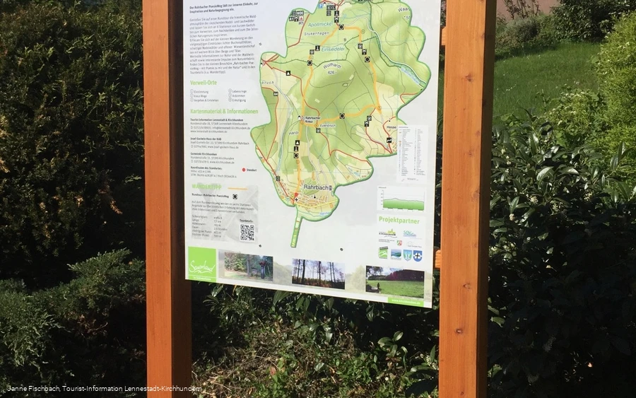
599 mThe Rahrbach Poetry Trail invites you to take an approximately 8 km circular tour through the enchanting forest scenery of the Sauerland. This hike is characterized by the tranquil atmosphere that offers the opportunity to be inspired by short poems at six stations. These words invite you to pause, reflect and experience nature in all its glory.
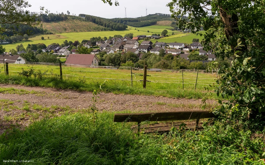
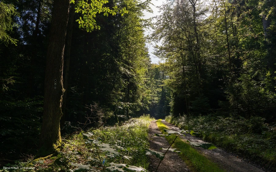
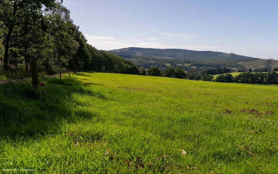
The tour offers light-flooded Buchenwald forests and open meadow landscapes that provide sweeping views of the surrounding mountains and valleys.
The places to linger include "Attunement", "Cross Paths", "Passing & Emergence", "Rings of Life", "Arrival" and "Encouragement". In addition to poetic texts, these stations offer information on nature and forest management and encourage a conscious experience of nature.
Information
Directions
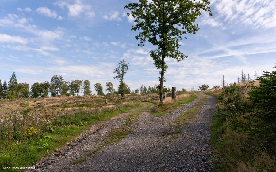
The easy hike on easily accessible forest paths of approx. 7.7 km in length is marked throughout with the "white circle on black background" sign. From the starting point at the Rahrbach church, the trail initially leads slightly uphill through open meadows to the edge of the forest (approx. 0.8 km). From the first adventure station ("Einstimmung"), the trail leads gently up and down through coniferous, deciduous and mixed forests, some of which enjoy special protection as so-called wilderness areas or FFH areas, and repeatedly opens up views over open meadow landscapes. You can find out more about the protected forest areas - wilderness and FFH area "Apollmicke and Einsiedelei" - at the "Vergehen & Entstehen" and "Lebensringe" resting places.Note: The wilderness areas are predominantly located in nature conservation and FFH areas, so it is forbidden to enter the forest areas off the paths or to collect plants or mushrooms. For this reason, please stay on the marked hiking trail between the "Vergehen & Entstehen" and "Lebensringe" (3 and 4).And of course, entering the forest is always at your own risk. This also applies to a hike on the Rahrbacher PoesieWeg - forest visitors must be aware of typical forest hazards, such as falling branches and tripping hazards, whether in the "normal" forest or in the wilderness area.
Equipment
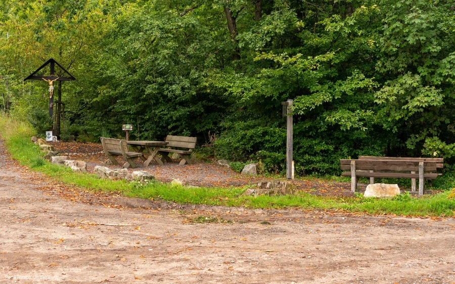
There are benches at various points where you can take a break and contemplate.
Safety guidelines
Most hiking trails run away from towns and settlements and every hiker has thought about what would happen if an emergency were to occur. How can I be found here? Where am I anyway? Can the emergency services reach me?
But in an emergency, things have to happen quickly! That's why the hiking trail network in the Lennestadt & Kirchhundem region is equipped with so-called rescue signs throughout. The green and white stickers attached to the posts of the signposts have a number that you must give when making an emergency call. This means that the emergency services know exactly where you are and valuable time can be saved.
Author Tip
Inspiration & information on the places to stay (experience stations) can be found here:
Maps
Lennestadt & Kirchhundem hiking map, 1:25,000
Tourist-Information Lennestadt & Kirchhundem
Hundemstr. 18, 57368 Lennestadt
www.lennestadt-kirchhundem.de
Public transit
15-minute walk to Rahrbach or connection with bus line R 90 (Rahrbach Ort stop)
