Photo route Oberkirchen (O2) - Village in focus

#deinsauerland / Neusta Touren / Photo route Oberkirchen (O2) - Village in focus


2446075


2445475


2445479


2445482


2445496


2445498


2445509


2446070


2445816


2445510


2446076

Tour starting point:

"Schütten Brücke", Oberkirchen town center

Tour destination point:

"Schütten Brücke", Oberkirchen town center

Properties:

  • Family friendly
  • Refreshment stop
  • Circular route

Additional Information

In Oberkirchen, the Gasthof Droste, the Vogtei restaurant, the Gasthaus Lennemühle, the Hotel Schieferhof and the Landhotel Gasthof Schütte are all great places to take a break.

Category

Themenweg

Length

12 km

Duration

3:35 h

Elevation ascent

307 m

Elevation descent

306 m

Lowest point

426 m

Highest point

581 m

Condition

Difficulty

Recommended seasons

J F M A M J J A S O N D

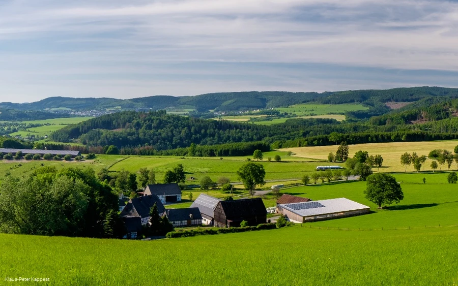
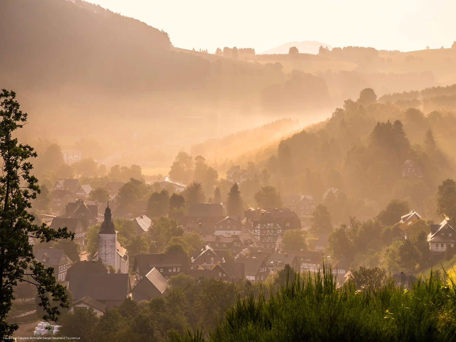
The photo route has a total length of 11.4 km. It is divided into two loops: the southern loop around the Giersberg with 6.7 km and the northern loop around the Hirschberg with 4.7 km. Both loops start at this point and can also be explored separately. The route has been chosen to take you past the most beautiful village motifs in the landscape.

Along the way, you will find a total of 18 steles with a QR code. Behind them are links with motif tips, photographic tips or short explanatory videos. There is also a photographic task for the rest of the photo route. Over the course of the hike, these tips and tasks will help you to become more and more aware of the variety of motifs and photographic design options around you. Each task has its own hashtag. Take a look at Instagram to see what other photo enthusiasts have come up with and share your own favorite pictures with others.

It doesn't matter which device you use to take your photos. Almost all tips can be implemented with a cell phone or compact camera just as easily as with extensive photographic equipment. But beware: the route offers plenty of exciting motifs whatever the weather - even more than our examples show. So: keep your eyes open! Among other things, you will see 12 of Schmallenberg's more than 80 districts - either up close or from a distance. On the horizon, you can even spot parts of our neighboring communities, and I hope you enjoy hiking and taking photos!

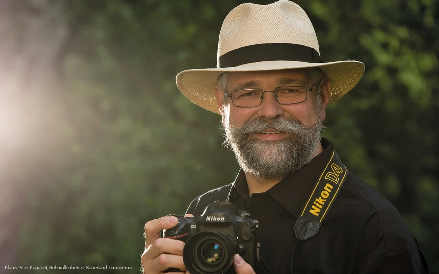
Yours, Klaus-Peter Kappe
Oberkirchen photo professional and WOLL photographer

Further information, photo workshops in the Schmallenberg Sauerland, photo books, pictures for your walls and more at: www.kappest.de

Photo route Oberkirchen (Station 1): Less is more


2446070

▶ TO THE VIDEO: Station 1 "Less is more"

Read More

Photo route Oberkirchen (Station 2): Flowers & Co.


2445483

▶ TO VIDEO: Station 2 "Macro photos"

Read More

Photo route Oberkirchen (Station 3): Polarizing filter


2445481

▶ TO VIDEO: Station 3 "Polfiter on the water"

Read More

Photo route Oberkirchen (Station 4): Bright picture elements


2445476

▶ TO VIDEO: Station 4 "Bright picture elements"

Read More

Photo route Oberkirchen (Station 5): Dirt on the sensor


2445378

▶ TO VIDEO: Station 5 "Dust on the sensor"

Read More

Photo route Oberkirchen (Station 6): Motif tip Hexenplatz


2445378

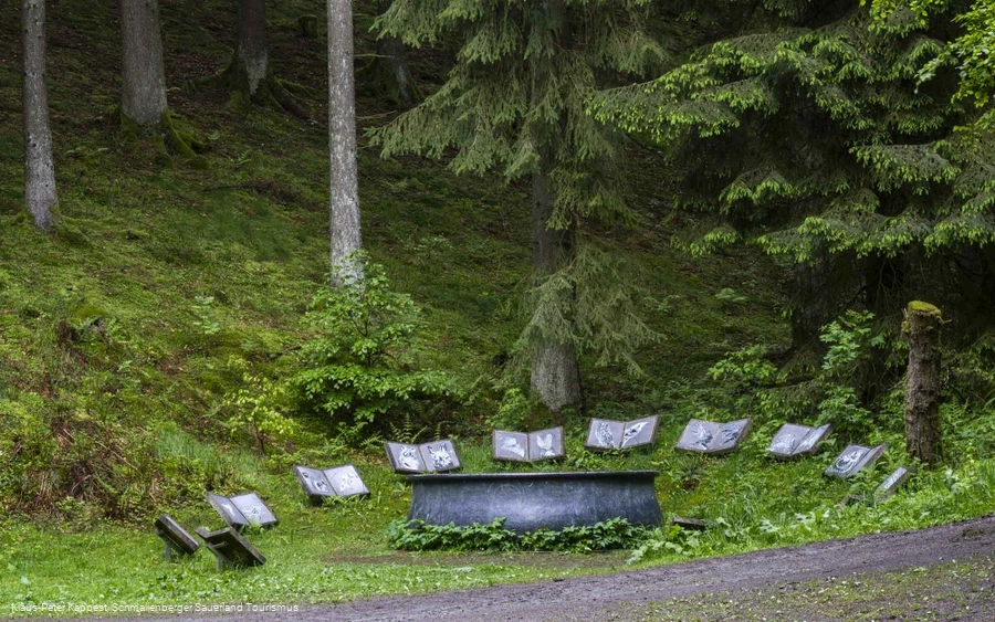
You will soon reach the witches' square created by the artist Lili Fischer.

Read More

Sculpture "Hexenplatz" by Lili Fischer


2445475

The unique works of ten internationally renowned artists turn the WaldSkulpturenWeg Wittgenstein-Sauerland into an incomparable public art gallery in nature that can be visited at any time of year.

Read More

Photo route Oberkirchen (Station 7): Panoramic photography


2445816

The "Panoramic photography" station is part of the Oberkirchen photo route by photographer Klaus-Peter Kappe.

Read More

Photo route Oberkirchen (Station 8): Farm animals


2445818

▶ TO THE VIDEO: Welcome by Klaus-Peter Kappe on the Almert
▶ TO THE VIDEO: Station 8 "Almert"

Read More

Photo route Oberkirchen (Station 9): Landscapes in optimal light


2446071

Station 9 "Landscape pictures in optimal light" is part of the Oberkirchen photo route by photographer Klaus-Peter Kappe.

Read More

Photo route Oberkirchen (Station 10): Foreground makes picture healthy


2445499

▶ TO VIDEO: Station 10 "Foreground makes picture healthy"

Read More

Photo route Oberkirchen (Station 11): Church photos


2445501

Like most Catholic churches in the Sauerland, the parish church of St.

Read More

Photo route Oberkirchen (Station 12): Falling lines


2445865

The many half-timbered facades are a characteristic feature of Oberkirchen.

Read More

Photo route Oberkirchen (Station 13): Camera position


2445378

▶ TO VIDEO: Station 13 "Camera position"

Read More

Photo route Oberkirchen (station 14): Exposure compensation


2445502

Treat yourself to a little detour: follow the short path along the stream bank down to the Schwarzer Fabrik courtyard.

Read More

Photo route Oberkirchen (Station 15): Polarizing filter in the forest


2445504

▶ TO VIDEO: Station 15 "Polarizing filter in the forest"

Read More

Photo route Oberkirchen (Station 16): Motif tip Trees as picture frames


2445506

▶ TO THE VIDEO: Station 16 "Trees as picture frames"

Read More

Photo route Oberkirchen (Station 17): Distant view


2445875

▶ TO VIDEO: Station 17 "Tripod use"

Read More

Photo route Oberkirchen (Station 18): Village views


2446073

▶ TO THE VIDEO: Station 18 "Focal length effect"
▶ TO THE VIDEO: Klaus-Peter Kappe bids you farewell on the photo route in Oberkirchen

Read More

Blacksmith Schütte


2445493

In the historic building of the "Black Factory", blacksmithing for home and garden is created.

Read More

Hiking portal and hiking parking lot Oberkirchen - church


2445487

Starting point Sauerland-Wanderdorf region - Oberkirchen.

Read More

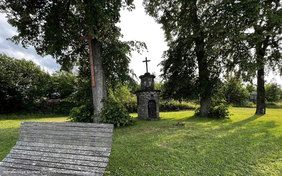
Antoniushäuschen


2445496

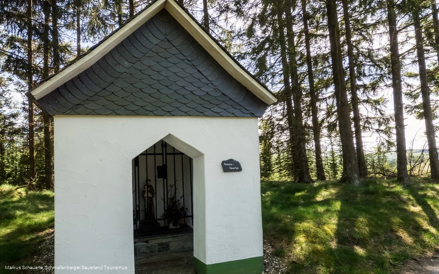
Wayside shrine between Oberkirchen and Westfeld.

Read More

Wayside shrine to the blood-sweating Savior


2445498

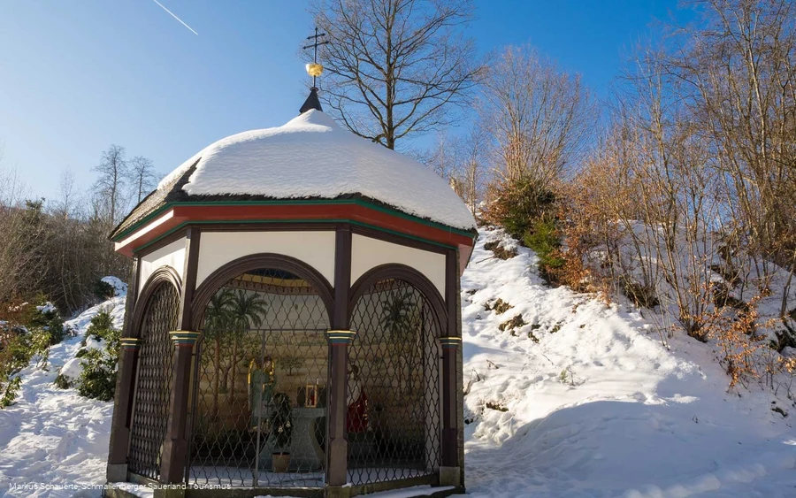
Wayside shrine "Zum Blutschwitzenden Heiland" in Oberkirchen

Read More

Hermannsteich Oberkirchen


2445479

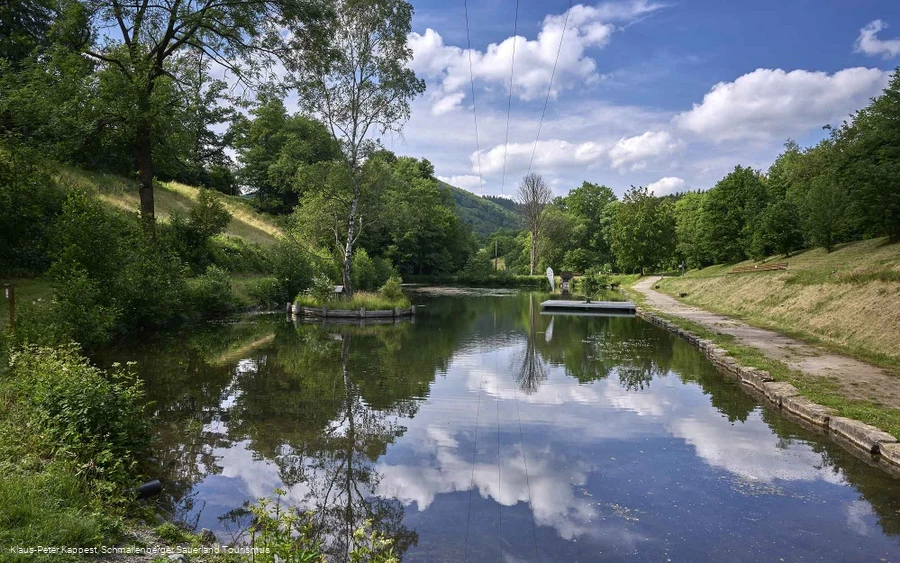
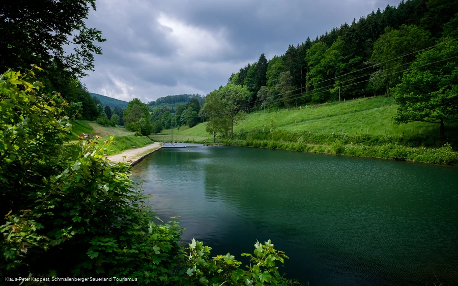
Small pond with adventure value in the Hartmecke valley in Oberkirchen

Read More

Crossroads on the Graftenberg


2445576

For many years, the wayside cross on the Graftenberg served as a cemetery cross in Westfeld.

Read More

Hiking portal and Almert hiking parking lot


2445495

The Almert hiking parking lot is located on the hill between the Schmallenberg districts of Grafschaft and Almert, on the K17 / main road.

Read More

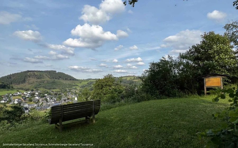
Pütte Oberkirchen


2445509

Viewpoint above Oberkirchen with a beautiful view of the village.

Read More

Oberkirchen village balcony


2446650

The village balcony offers a beautiful view of the village of Oberkirchen.

Read More

0 km 2 km 4 km 6 km 8 km 10 km 400 m 450 m 500 m 550 m 600 m 434 588

Information

Directions

Always follow the hiking sign O2.

Equipment

We recommend that you bring sturdy shoes and sufficient food and drink.

Author Tip

Family tip: We recommend taking a break at the Vorwald estate

Maps

Hiking map Schmallenberg-Sauerland 1:25,000; Hiking map Oberkirchen Vorwald 1:20,000

Public transit

The S40 bus line runs in Oberkirchen. Use the "Kirche" stop to get to the starting point of the tour.


To the timetable information: www.rlg-online.de


With the Schmallenberg Sauerland Card you can travel free of charge by bus and train in the region.
Parking

Parking is available at the "Wanderparkplatz Schützenhalle" and around the church.

Interesting places in the neighbourhood

Wir binden die Videos der Plattform “YouTube” des Anbieters Google LLC, 1600 Amphitheatre Parkway, Mountain View, CA 94043, USA, ein. Datenschutzerklärung: https://www.google.com/policies/privacy/, Opt-Out: https://adssettings.google.com/authenticated.