- Culturally interesting
- Refreshment stop
- Circular route
Olsberg - Kapellen - circular hiking trail
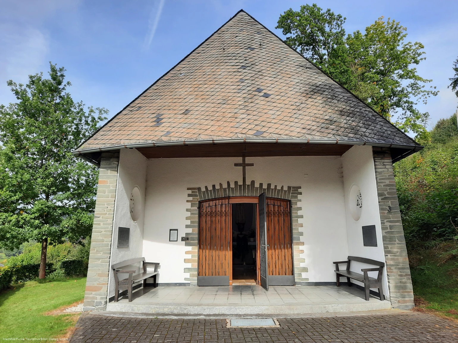
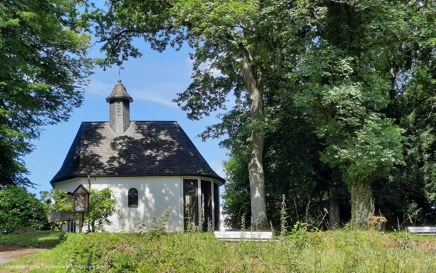
Discover the spiritual beauty of Olsberg on a special hiking trail, the Olsberg Chapel Circular Hiking Trail.
Tour starting point:
Chapel on the Hamberg in Olsberg Antfeld
Tour destination point:
Chapel on the Hamberg in Olsberg Antfeld
Properties:
Additional Information
Hiking map Brilon Olsberg and the brochure "Sauerland-Seelenorte".
Category
regionaler WanderwegLength
43.5 kmDuration
12:15 hElevation ascent
1209 mElevation descent
1238 mLowest point
318 mHighest point
602 mCondition
Difficulty
Discover the spiritual beauty of Olsberg on a special hiking trail, the Olsberg Chapel Circular Hiking Trail.
Some of the most beautiful chapels in the town are linked by this hiking tour. The hike starts at the Hamberg Chapel in Antfeld and leads over the Langer Berg (Af4 to the transmission mast, then via the A2 on the KneippWanderWeg) to the chapel at the Schinkenwirt.
From there, follow the Kneipp hiking trail to the Forstenberg, where you reach the legendary Borberg via the Rothaarsteig. The enchanting Borberg chapel invites you to pause for a moment.
Follow the small path (path sign "on the upside down" T) to the small village of Elleringhausen.
The Golddörferweg trail then leads to the Elleringhausen Friedenskapelle chapel above the village. The Friedenskapelle is also one of the Sauerland-Seelenorte and is visited by many people as a spiritual place. The next destination is the small Marienkapelle in Bruchhausen. The Golddörferweg trail leads to the golden village of Bruchhausen. The Marienkapelle is located at the foot of the Istenberg. Continuing along the Golddörferweg (G), you reach the Küsterland in Assinghausen with its small chapel. The park in Küsterland is once again an inviting place to relax. Via the hiking trail (W1), you reach Wulmeringhausen with its small chapel in the Wolfskuhle area.
You can now continue along the W1 via Steinhelle on the KneippWanderWeg trail to above the Josefsheim hut. There, the G1 leads past the Marienkapelle Gevelinghausen to the small village of Gevelinghausen. Via the KneippWanderWeg, above the village, you then pass Schellenstein Castle and return to the starting point in Antfeld via AF4.
Information
Directions
Discover the spiritual beauty of Olsberg on a special hiking trail, the Olsberg Chapel Circular Hiking Trail.Some of the most beautiful chapels in the town are linked by this hiking tour. The hike starts at the Hamberg Chapel in Antfeld and leads over the Langer Berg (Af4 to the transmission mast, then via the A2 on the KneippWanderWeg) to the chapel at the Schinkenwirt.From there, follow the Kneipp hiking trail to the Forstenberg, where you reach the legendary Borberg via the Rothaarsteig. The enchanting Borberg chapel invites you to pause for a moment.Follow the small path (path sign "on the upside down" T) to the small village of Elleringhausen.The Golddörferweg trail then leads to the Elleringhausen Friedenskapelle chapel above the village. The Friedenskapelle is also one of the Sauerland-Seelenorte and is visited by many people as a spiritual place. The next destination is the small Marienkapelle in Bruchhausen. The Golddörferweg trail leads to the golden village of Bruchhausen. The Marienkapelle is located at the foot of the Istenberg. Continuing along the Golddörferweg (G), you reach the Küsterland in Assinghausen with its small chapel. The park in Küsterland is once again an inviting place to relax. Via the hiking trail (W1), you reach Wulmeringhausen with its small chapel in the Wolfskuhle area.You can now continue along the W1 via Steinhelle on the KneippWanderWeg trail to above the Josefsheim hut. There, the G1 leads past the Marienkapelle Gevelinghausen to the small village of Gevelinghausen. Via the KneippWanderWeg, above the village, you then pass Schellenstein Castle and return to the starting point in Antfeld via AF4.
Equipment
Sturdy shoes are advisable. Despite the enclosed route description, a hiking map will help you find your way.
Author Tip
Find out more about the Sauerland-Seelenorte. You can obtain a wonderful brochure from the tourist information office.
Maps
Hiking map Brilon Olsberg
Public transit
Train station: Bestwig - bus service to Brilon via Antfeld
Railroad station: Olsberg - city bus service to Antfeld
Train station: Biggen - city bus service to Antfeld
How to get there
From the north: A33 to Wünnenberg-Haaren junction, then via the B480 to Olsberg Antfeld
From the south: A44 to Marsberg exit, then via the B7 to Olsberg Antfeld
From the west: A44 to Werl exit, then A46 to Olsberg Antfeld
From the east: A44 to Marsberg exit, then via the B7 to Olsberg Antfeld
Parking
Parking lot at Antfeld cemetery, Langenbergstraße

