- Culturally interesting
- Circular route
- free of charge / accessible at any time
Information trail "Around Endorf"
Tour starting point:
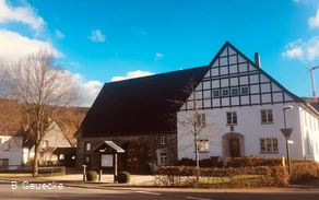
SGV board in the center of the village of Endorf
Tour destination point:
see above
Properties:
Additional Information
A bakery in the middle of the village offers refreshments during opening hours.Category
ThemenwegLength
18.8 kmDuration
6:00 hElevation ascent
451 mElevation descent
451 mLowest point
295 mHighest point
493 mCondition
Difficulty
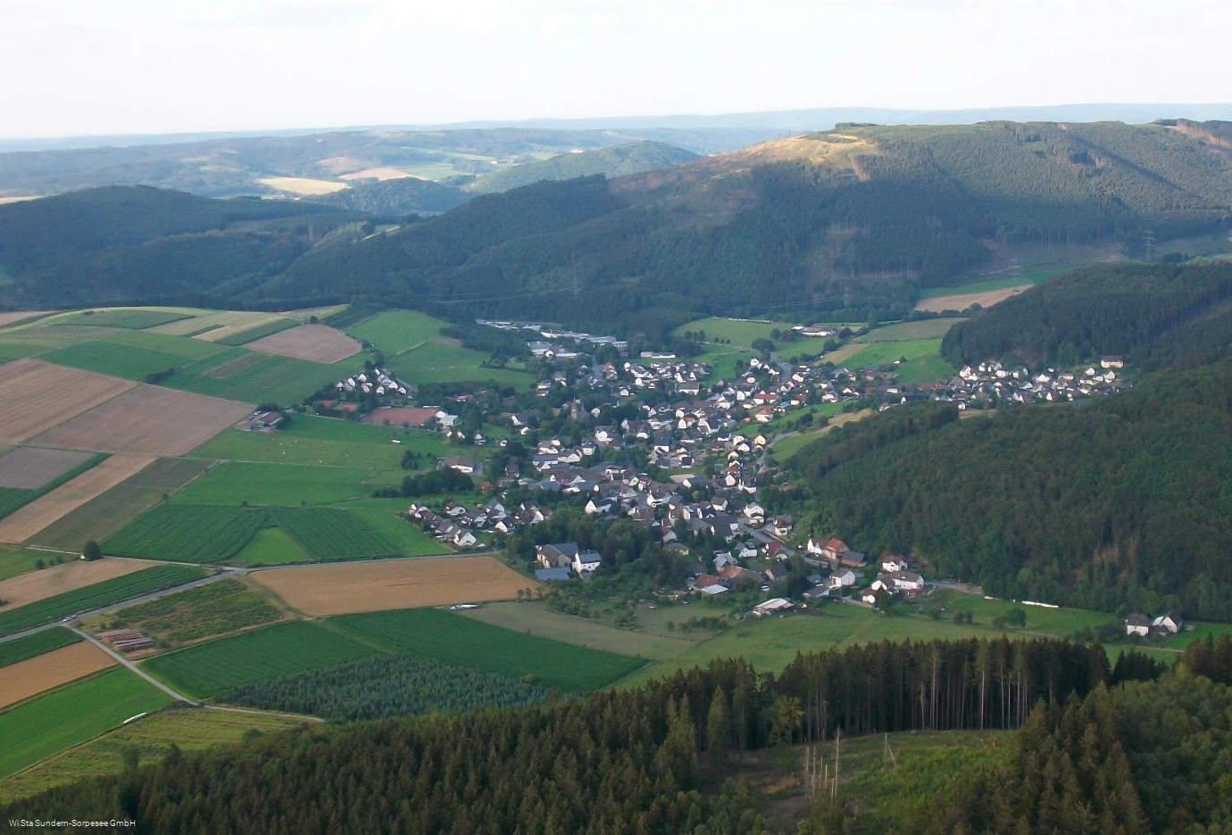
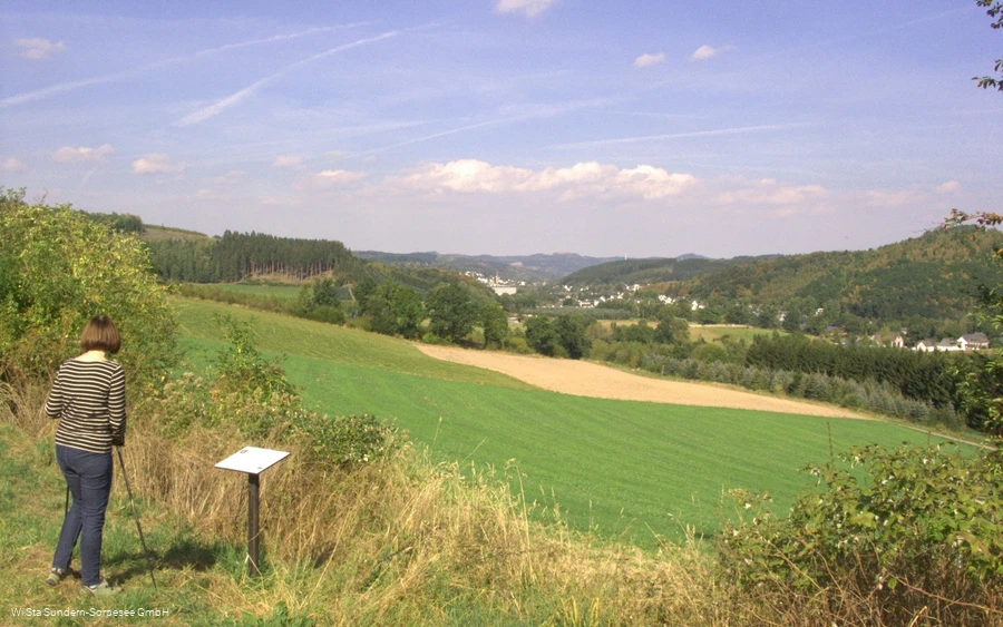
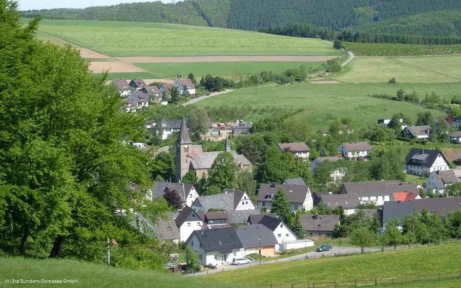
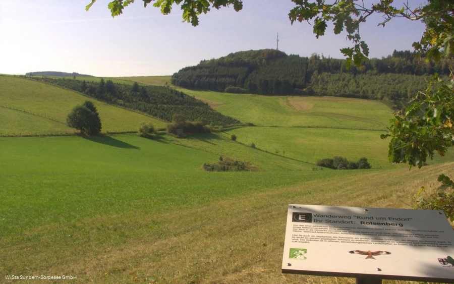
The "Around Endorf" information trail is almost 19 km long and leads around the village. There are 17 information boards explaining the area, its history and the striking features of the landscape. Numerous benches invite you to take a break.
Information
Directions
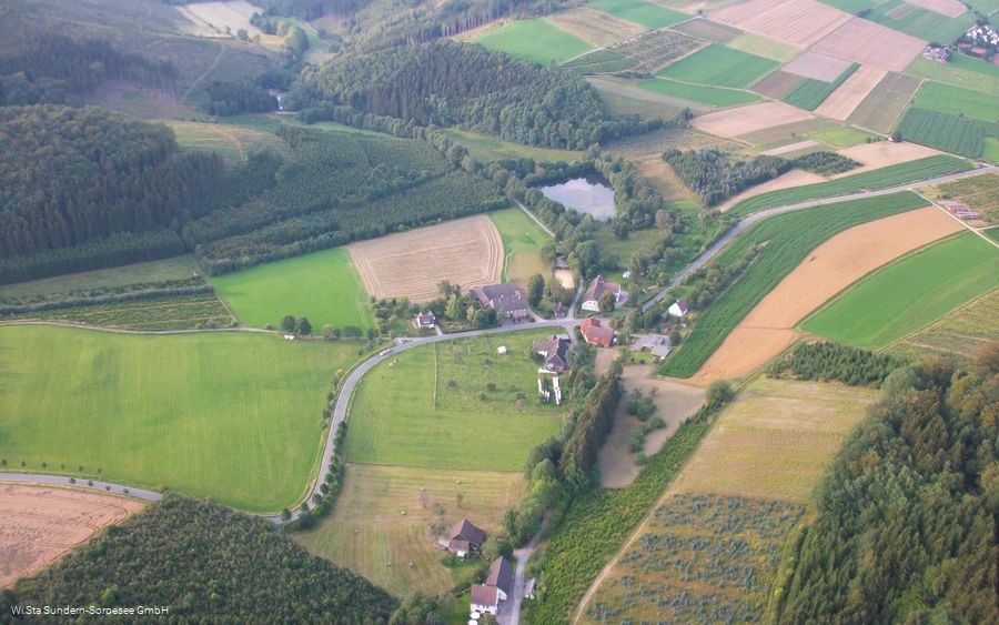
You start the tour at the SGV information board in Endorf (village center). From Sebastianstraße, walk into Huxenweg and behind the schoolyard of the elementary school, turn right and follow the E in a circle through a residential area, then along the cycle path to "Endorfer Mühle". Here you cross the road (keeping right) and walk along the Röhr and two fish ponds to the "Rammstall" rest area (water treading basin). Follow the road for about 100 m on the left (take care!), then cross the road and walk uphill to the right to the "Hexentreppe".The route now climbs steadily uphill to the Hüttenberg. Like the Lichteloh and the Fehrenberg, this is circumnavigated without any inclines. The views here are magnificent! Now the descent begins, along the slope of the Rachenberg to Endorf. Pass the Wettertanne and the Vogelstange and continue along the foot of the Rachenberg into the Mühlscheider Bachtal. At the sawmill, you come to a country road with little traffic, which you follow to the left for a few meters before turning right at the carpenter's workshop. Follow the asphalt road until you reach a bend in the road. Now turn right again into the forest and uphill to the Druberg. This is rounded slightly downhill and you reach the small village of Bönkhausen. Lead mining was carried out here from 1450 to 1870. Traces of this are still visible. You cross a road again and pass the Bönkhauser See lake on your way back towards Endorf (after the pond, turn right). Over the Scheed you come up to the Bilsenberg, which is also circumnavigated. Here again there is a wonderful view. Now continue through the meadows to the Rolsberg, once around with a beautiful view of Sundern and downhill along the tarred road back to Endorf.You can also walk the trail in an anti-clockwise direction. It is marked in both directions.
Equipment
Author Tip
Maps
Public transit
Take the R25 or S20 line from Neheim-Hüsten to Sundern.
431 line from Sundern to Endorf, Sebastianstraße
.