- Culturally interesting
- Refreshment stop
- Circular route
- Good public transport connections
Brachtser Höhenweg
Tour starting point:
Hikers' parking lot Vorspanneiche or center of Brachthausen
Tour destination point:
Hikers' parking lot Vorspanneiche or center of Brachthausen
Properties:
Additional Information
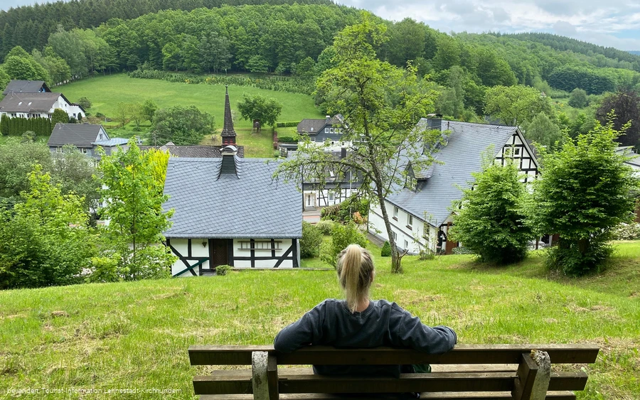
We recommend starting the tour at the Vorspanneiche hiking parking lot on the L728. It is also possible to start in the center of Brachthausen. Then walk an additional 950 m with the ⊥ from the church through Brachthausen towards Hasenbahnhof and start the tour.Monument: Kohlhagen pilgrimage church
Flora: juniper, alluvial forest
Landscape: Dollenbruch nature reserve, meandering streams
More information about the Sauerland-Seelenorte pilgrimage church in Kohlhagen.
Click here for the video of the Brachthausen Höhenweg.
Category
regionaler WanderwegLength
13.2 kmDuration
4:00 hElevation ascent
315 mElevation descent
315 mLowest point
420 mHighest point
606 mCondition
Difficulty
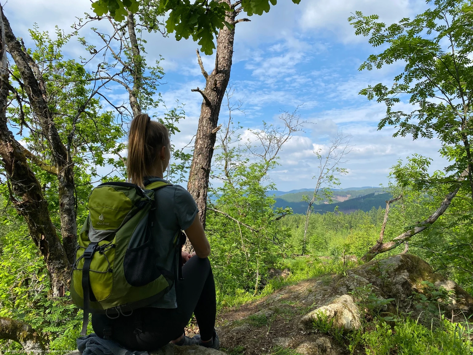
Lots of variety, from the idyllic stream to the almost endless distant views, ensure a relaxed atmosphere. The Sauerland-Seelenorte pilgrimage church in Kohlhagen provides a cultural highlight, while the Landhotel & Café Gut Ahe provides refreshments.
Here, the girls from "bevandert" will take you on the Brachtser Höhenweg.
Information
Directions
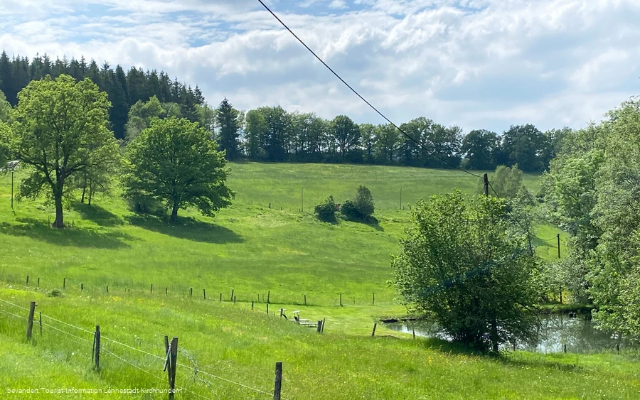
To avoid having to walk the asphalt access path from Brachthausen twice, we recommend starting at the Vorspanneiche hiking parking lot on the L728. From the stately Vorspanneiche, follow the "K" markings on a wide farm track through a sparse wood. A field path then leads past a Wacholderheide and along extensive Weide down into the Silberbachtal valley.Here you turn right onto the "Z" markings and hike through the idyllic, varied valley. Sometimes there are wide views, sometimes a rushing stream accompanies the path - its meandering course in the middle section of the valley is particularly charming.After around 170 meters along the K19, which you walk downhill on the left, you cross the road. A paved path then leads uphill to the next slope. The path soon flattens out and the "Z" markings lead on to Varste. There, follow the white diamond on the "Zur Kophelle" road to the Wegescheid hiking parking lot. From here, an access path of the Rothaarsteig (RHS) takes over the route.After crossing a hilltop, a steep descent begins on a narrow natural path to Wirme. At the church, cross the L728 and climb steeply along a service road to the edge of the forest. There, the route continues uphill to the pilgrimage church of Kohlhagen. Tip: The 7-Schmerzen-Weg branches off on the way and, as a nature trail, offers a quieter alternative to the road.After visiting the baroque church, follow the RHS access path further uphill. The hill offers a beautiful view of the next destination: Gut Ahe. The view over the hilltops of the Sauerland is also impressive from one of the benches. The asphalt ends at the Gut Ahe country hotel/café. The route continues uphill on a paved path. At a forest meadow, you leave the RHS access path and turn right onto the ∆ markings towards Hilchenbach.A windbreak field opens up the view of the landscape before you cross the hilltop on the historic Kriegerweg and reach the Hasenbahnhof after 10.5 km. From here, the route marked "⊥" leads back to Brachthausen. Alternatively, you can stay on the path with the ∆, rejoin the K-Weg at the edge of the forest and return to the starting point at the Vorspanneiche using these markings
Equipment
Safety guidelines
Information on the rescue signs
Most hiking trails run away from villages and settlements and every hiker has thought about what would happen if an emergency were to occur. How can I be found here? Where am I anyway? Can the emergency services reach me?
But in an emergency, things have to move quickly! That's why the hiking trail network in the Lennestadt & Kirchhundem region is equipped with so-called rescue signs throughout. The green and white stickers attached to the posts of the signposts have a number that you must give when making an emergency call. This means that the emergency services know exactly where you are and valuable time can be saved.
Author Tip
Maps
Tourist-Information Lennestadt & Kirchhundem
Hundemstr. 18, 57368 Lennestadt
www.lennestadt-kirchhundem.de
