- Family friendly
- Refreshment stop
- Circular route
- Signage
- Mostly sunny
- free of charge / accessible at any time
BestWeg Velmede-Bestwig
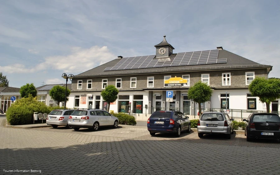
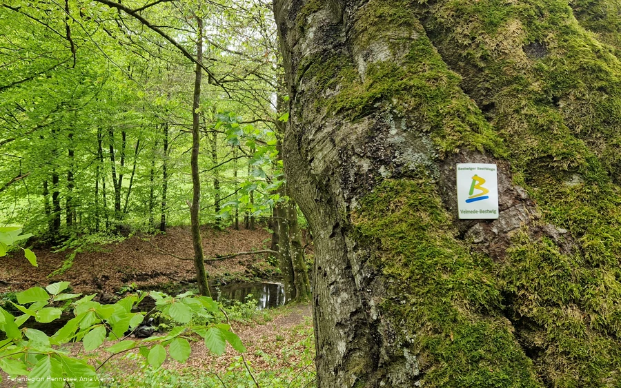
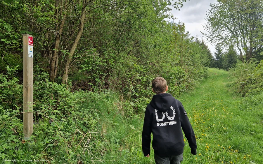
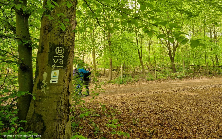
The BestWeg Velmede-Bestwig starts and ends at the "Bestwig train station" hiking parking lot (Bundesstraße 139, 59909 Bestwig). The circular hiking trail is 10.7 km long, has a difference in altitude of 245 m and is marked with the sign "Bestwiger BestWeg Velmede-Bestwig".
The BestWeg trails are a strong piece of Sauerland. Hiking experts from the villages around Bestwig have set out to explore THE attractive hiking trail that is representative of the area. The result is the Bestwiger BestWege - great circular trails around Andreasberg, Heringhausen, Nuttlar, Ostwig, Ramsbeck and Velmede-Bestwig. In a hiking time of between two and four hours, you can discover a variety of hiking routes.
Tour starting point:
Bestwig station forecourt
Tour destination point:
Bestwig station forecourt
Properties:
Category
regionaler WanderwegLength
10.7 kmDuration
3:10 hElevation ascent
272 mElevation descent
272 mLowest point
287 mHighest point
473 mCondition
Difficulty
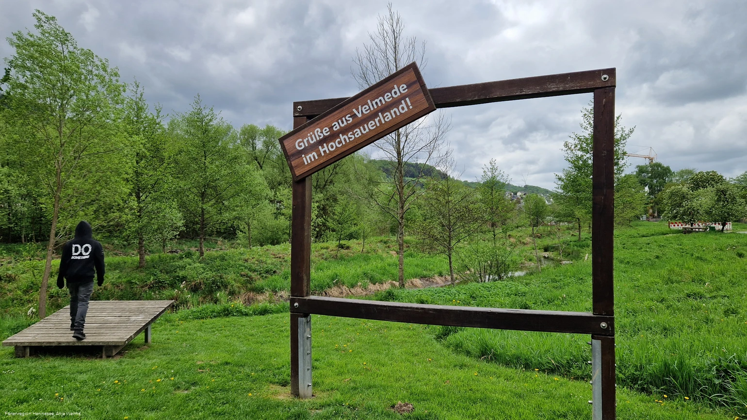
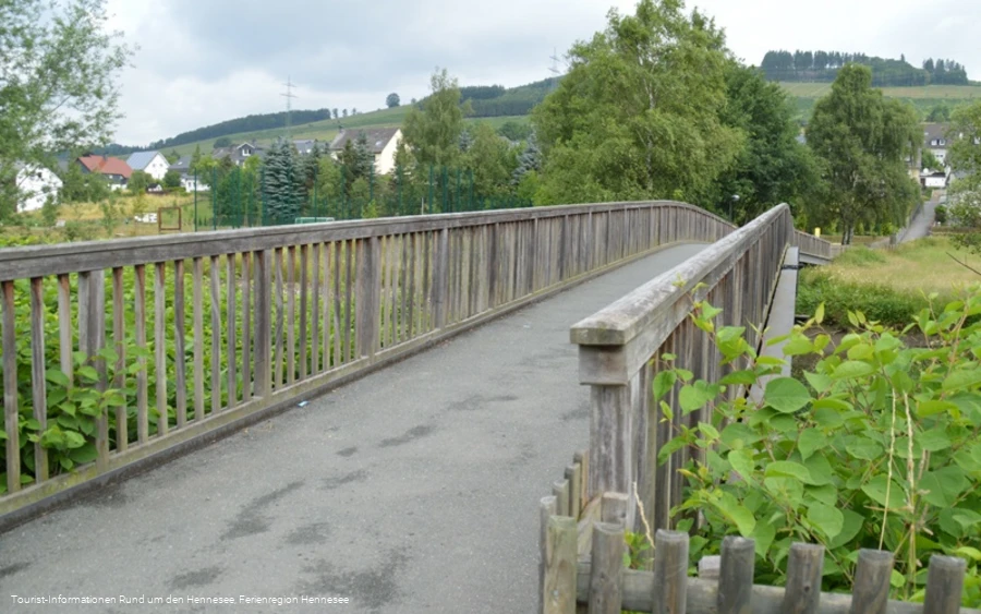
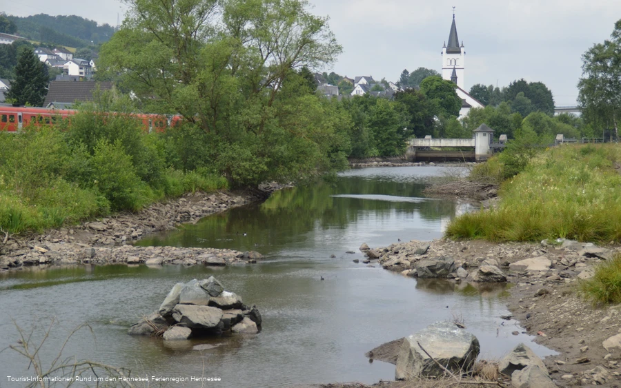
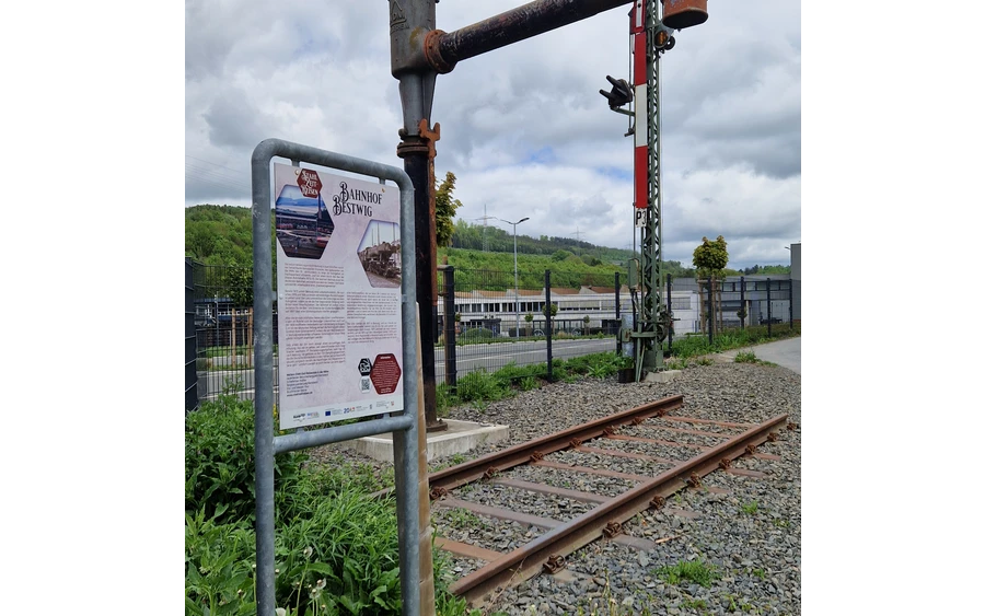
The Ruhr floodplains open up at the historic water tower, which once supplied steam locomotives with water. Here you can experience the Ruhr - barefoot in the water, with a rest area and insect hotel. The route continues along the renaturalized Ruhr, which we cross shortly afterwards via the so-called "Wackelbrücke" (wobbly bridge). Here, there is a park landscape with a playground, landscape frame and plenty of seating, and
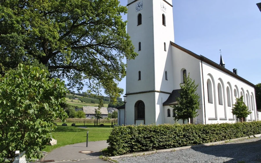
a view of the Ruhr weir and the imposing Andreaskirche church in Velmede - one of the largest churches in the archdiocese of Paderborn - reveals the next stage destination. The church houses a blood relic of Pope John Paul II.
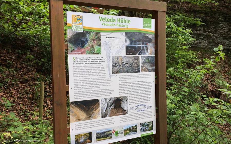
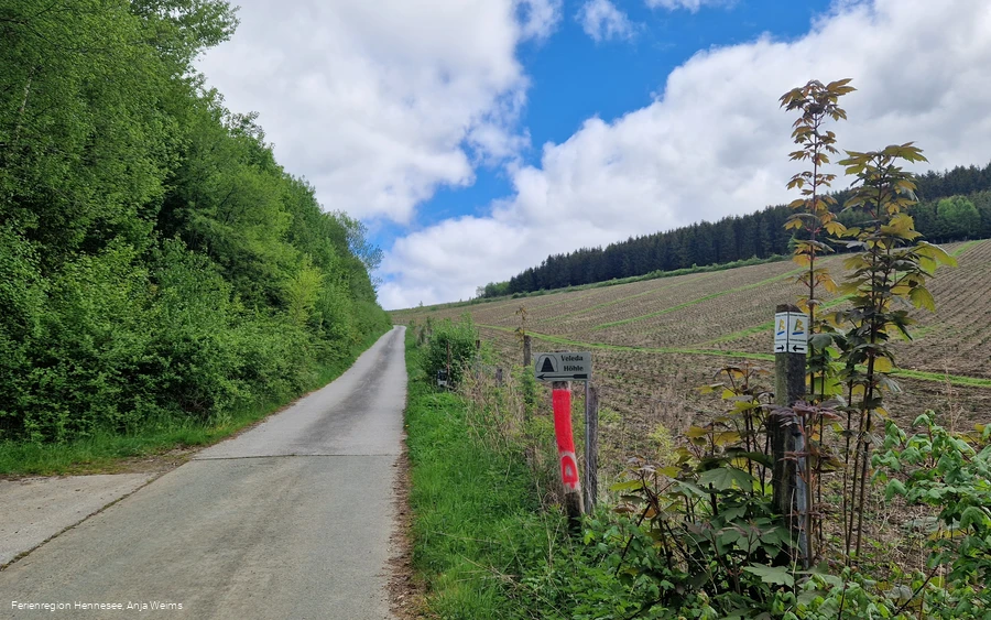
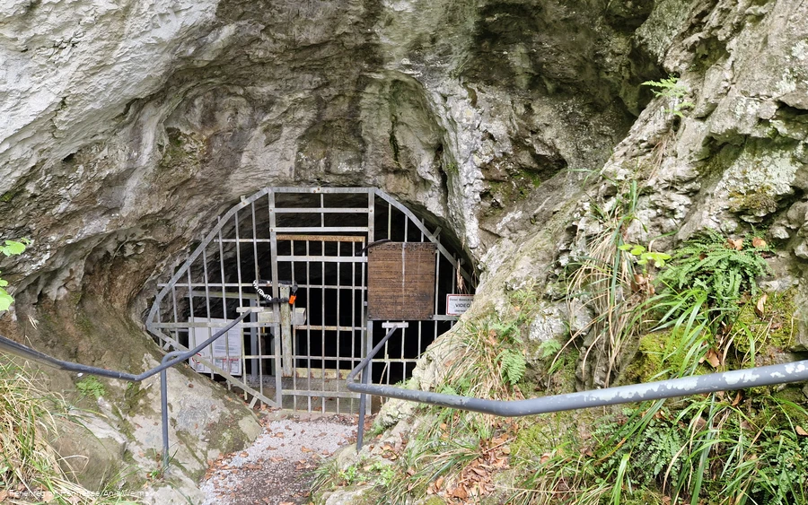
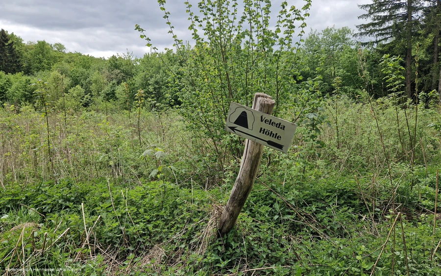
After crossing the main road, we climb steadily uphill through a residential area, past the striking Five Wounds Cross and the Knükelhütte rest area with its pedal pool. We leave Velmede behind us and hike along meadow paths to the legendary Veleda-Höhle - a pagan cult site and one of the oldest historical monuments in the Sauerland. Although access is blocked by a gate, it is worth taking a look at the entrance to the cave and the information board. There are also rest stops available. (Tip: guided tours take place on the last Sunday of every month from May to October.)
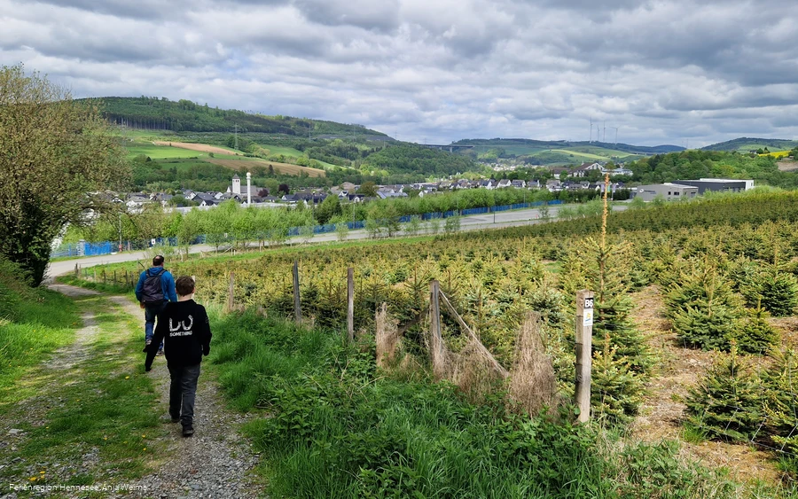
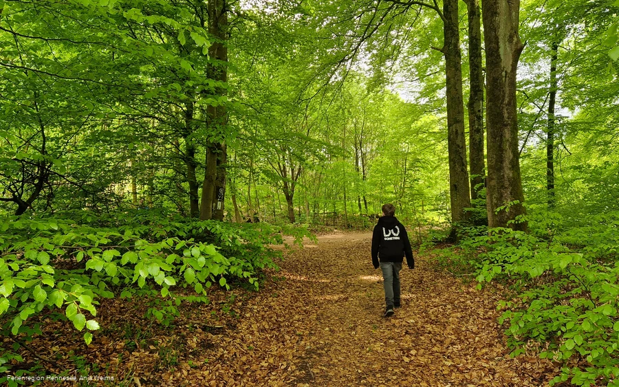
In winter, the cave serves as a refuge for bats. The trail continues uphill through a Buchenwald forest before heading back downhill towards the village. We walk along a scenic hillside path above Velmede for around two kilometers with great panoramic views of the Ruhrtal
valley, past the internationally active company TITAL GmbH, a manufacturer of high-quality aluminium and titanium investment casting components for the aerospace industry (part of the US company Howmet Aerospace), and back down into the Ruhrtal valley. After reaching country road 776, follow it southwards on the sidewalk for about 500 meters. At the Bestwig cemetery, we cross the road and the small wooden bridge over the Valme
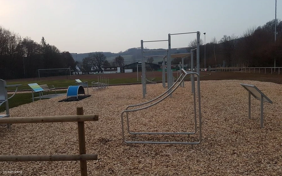
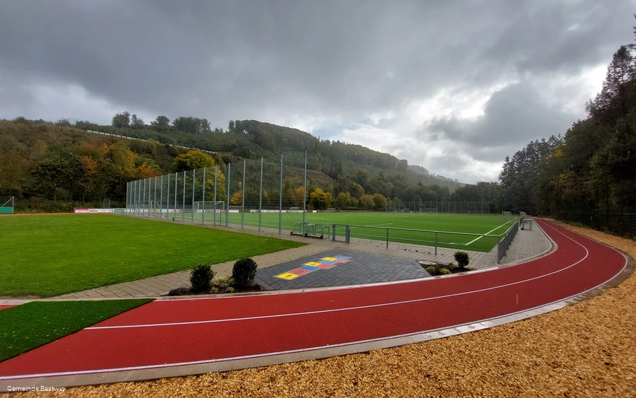
and are now on the Bähnchenweg, where a narrow-gauge railroad transported ore from the Ramsbeck mines to Bestwig station until around 1950. On the left, we see the Bestwig civic sports ground with running track, artificial turf pitch, fitness trail and small playing fields. On the right is the 332-metre circuit of RC Racer Hochsauerland e.V., a model car racing track with a varied route, and
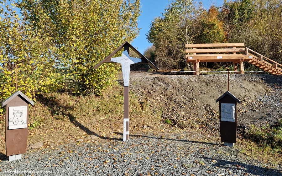
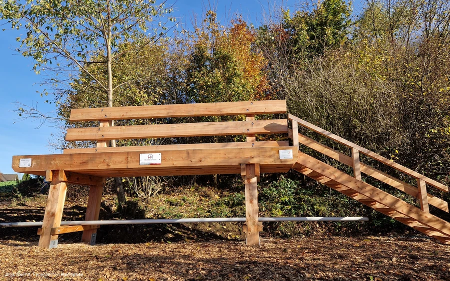
shortly afterwards we reach the first station of the Bestwig Kreuzweg, which leads us out of the Valmetal valley in serpentines. At the highest point, there is a rest area with the Bestwig XXL bench and an impressive view as far as Meschede, ten kilometers away.
the trail continues high above Bestwig and the district of Westfeld. Here you can enjoy an "eight-bridge view" of the A46, which crosses the Ruhrtal in spectacular fashion with the Nuttlar viaduct - the highest highway bridge in North Rhine-Westphalia (115 m).
The descent leads through Westfeld to Bergkloster Bestwig, the seat of the European Province of the Sisters of St. Mary Magdalene Postel. Here, the cosmopolitan religious community runs a vocational college and a guest house.
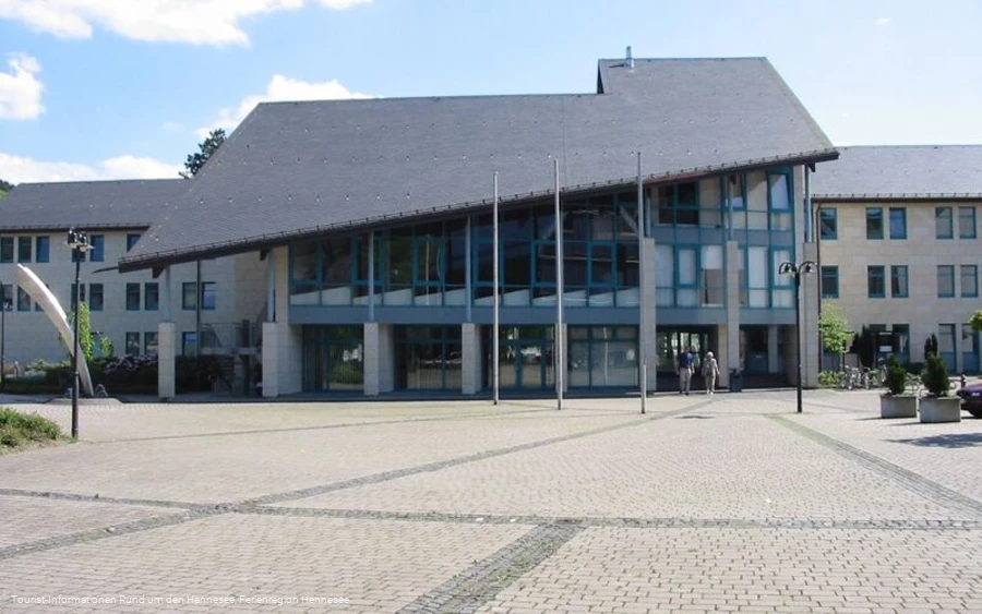
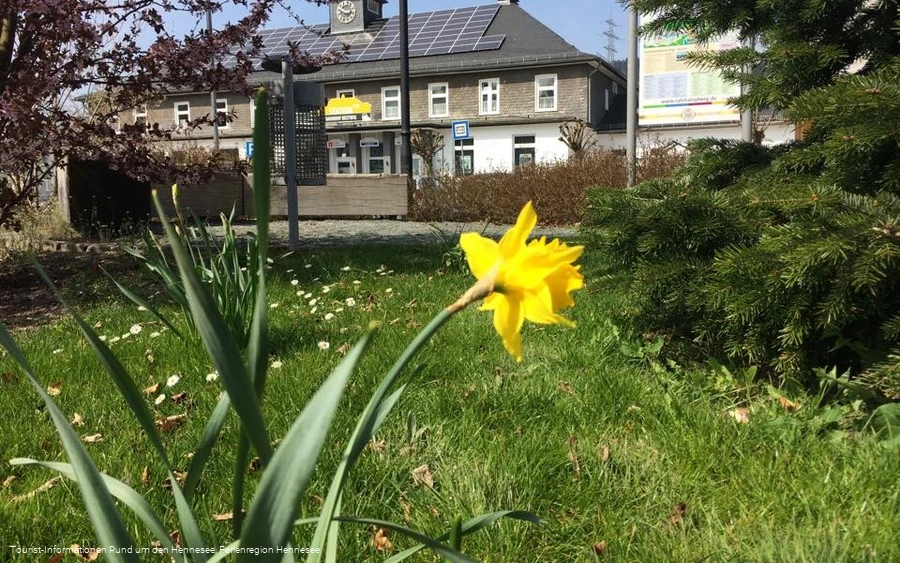
After a few minutes, we reach the main road again, pass the town hall and town hall and return to the starting point at Bestwig railroad station with the tourist information office.
Information
Directions
Start and finish: Bestwig railroad station parking lot (Bundesstraße 139, 59909 Bestwig) The trail is marked in both directions with the "Bestwiger BestWeg Velmede-Bestwig" sign.Start in the parking lot in front of Bestwig station - Ruhr Auen (with rest area) - Park am Stauwehr - St. Andreaskirche - crossing the railroad line, Ruhr and main road in the center of Velmede village- Knükelhütte rest area with pedal pool - climb to Veledahöhle cave - descend towards Velmede and follow the slope path above Velmede to the east (great views of the Ruhrtal valley) - follow country road 776 for a few meters - cross the Valme over a wooden bridge - Bähnchenweg path towards Bestwig - sports field with fitness equipment - Kreuzweg climb - rest area at the last Kreuzweg station with wide views of the Ruhrtal valley - Riesenbank Bestwig - Acht-bridge view above the Westfeld district - crossing the Westfeld district - Bergkloster Bestwig - Bestwig town hall and town hall - Bestwig station forecourt parking lotThe BestWeg Velmede-Bestwig is 10.7 km long, has a difference in altitude of 245 m and is marked with the "Bestwiger BestWeg Velmede-Bestwig" sign.
