- Circular route
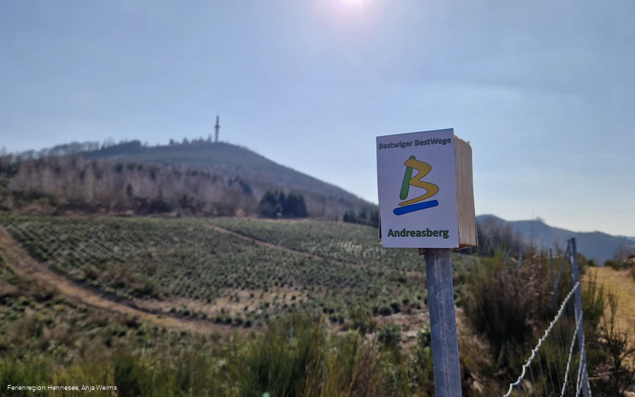
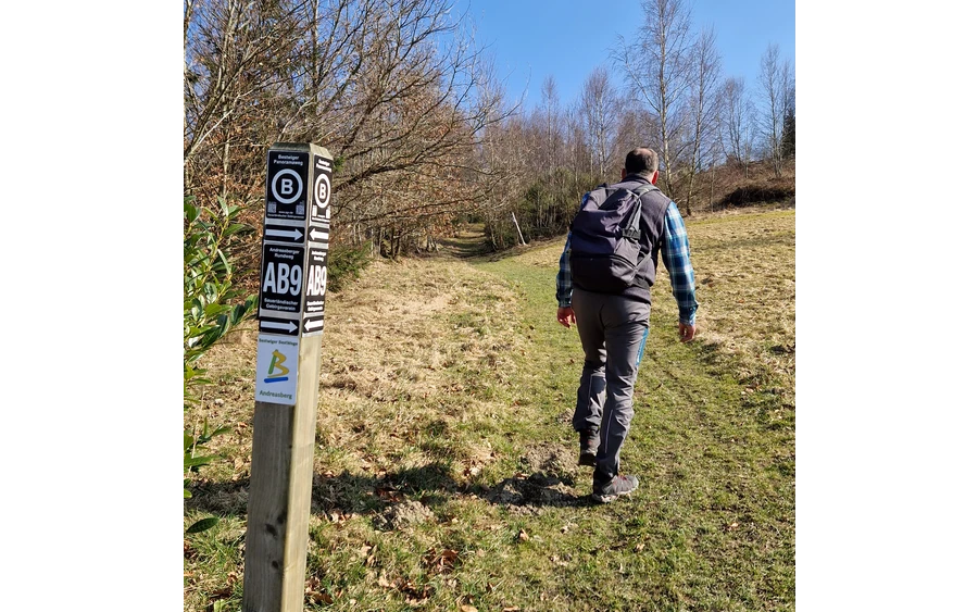
- Signage
- Tour with dog
- Mostly sunny
- free of charge / accessible at any time
BestWeg Andreasberg
The BestWege trails are a strong piece of Sauerland. Hiking experts from the villages around Bestwig have set out to explore THE attractive hiking trail that is representative of the area. The result is the Bestwiger BestWege - great circular trails around Andreasberg, Heringhausen, Nuttlar, Ostwig, Ramsbeck and Velmede-Bestwig. In a hiking time of between two and four hours, you can discover a variety of hiking routes.
Tour starting point:
Hiking sign in the center of Andreasberg
Tour destination point:
Hiking sign in the center of Andreasberg
Properties:
Category
regionaler WanderwegLength
8.4 kmDuration
2:23 hElevation ascent
177 mElevation descent
178 mLowest point
474 mHighest point
621 mCondition
Difficulty
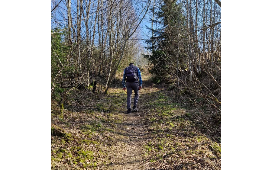
Overall, the BestWeg Andreasberg is well marked and also suitable for dog lovers, but without refreshment stops. The approximately two-hour hiking tour promises enjoyment all along the line, whether alone, with a dog or with the family.
Information
Directions
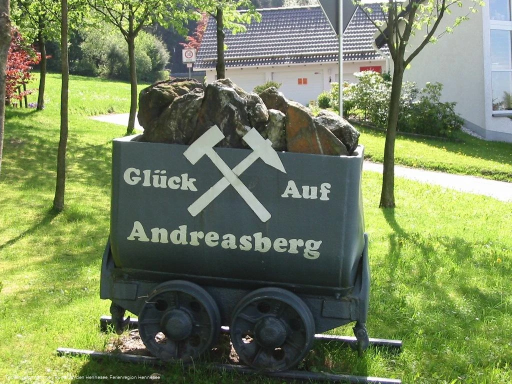
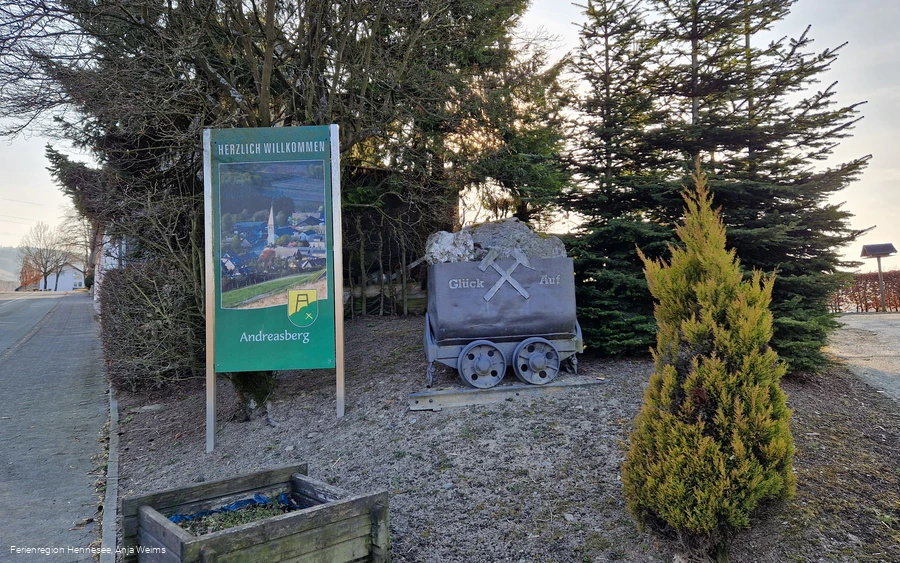
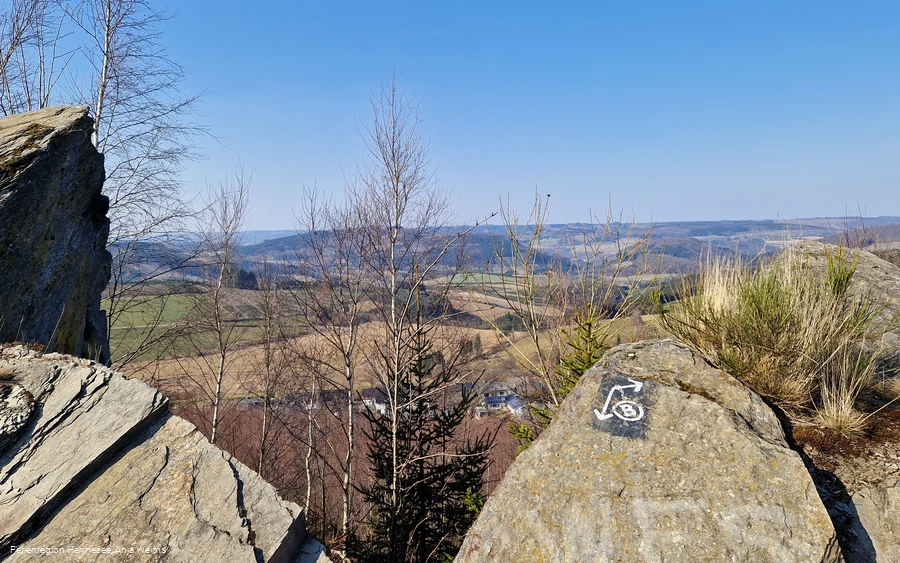
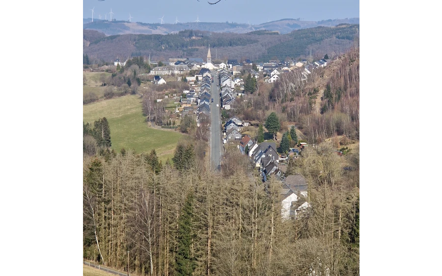
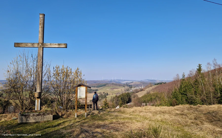
Start and finish: Hiking board in the center of Andreasberg (Dorfstraße, 59909 Bestwig Andreasberg)The trail is marked in both directions with the sign "Bestwiger BestWeg Andreasberg". Starting point Hiking board in the center of Andreasberg - Andreasberg leisure facility and rest area - Andreasberg sports field - almost slope-free loop around "Am Löh" mountain - distant views to the north towards Arnsberg Forest Nature Park - Steigerhaus - St. Barbara-Kirche - Bergmannskreuz - cliffs above Andreasberg - bird's eye view of Andreasberg - slope path below the Stüppel mountain - great valley views - Dörnberghalde - Dörnberg - Dörnberg-Kreuz (viewpoint with rest area) - Carl-Haber-Stollen - crossing the village road (historic mining buildings) - "Unter den Gärten" (with rest area, hammock and humming stone) - Andreasberg recreation area and rest area - starting point hiking sign in the center of Andreasberg The BestWeg Andreasberg is 8.5 km long, has a difference in altitude of 140 m and is marked in both directions with the sign "Bestwiger BestWeg Andreasberg".
Equipment
Author Tip
Maps
- Hiking board in the center of Andreasberg (Dorfstraße, 59909 Bestwig Andreasberg)
- www.bestwiger-bestwege.de/bestwiger-bestweg-nuttlar/
Public transit
Bus route: R72 Bestwig - Ramsbeck - Andreasberg - Wasserfall
Timetable information: www.westfalentarif.de
