- Summit
- Culturally interesting
- Refreshment stop
- Circular route
3rd stage of the Kneipp HikingTrail Olsberg - Ohlenbergtour
Tour starting point:
Touristik- und Stadtmarketing Olsberg GmbH, Ruhrstraße 32, 59939 Olsberg
Tour destination point:
Touristik- und Stadtmarketing Olsberg GmbH, Ruhrstraße 32, 59939 Olsberg
Properties:
Additional Information
www.tourismus-brilon-olsberg.deCategory
regionaler WanderwegLength
15.7 kmDuration
5:00 hElevation ascent
402 mElevation descent
402 mLowest point
325 mHighest point
727 mCondition
Difficulty
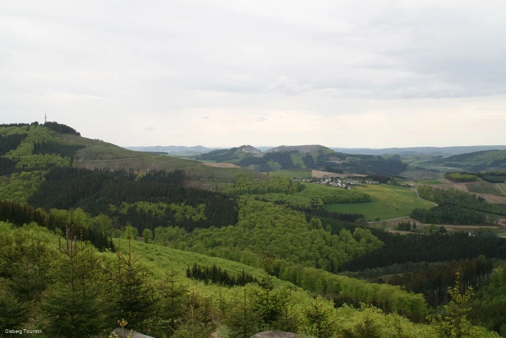
This 3rd stage of the Kneipp HikingTrail Olsberg starts at Olsberg Touristik, Ruhrstraße 32. It first goes to the reservoir. Follow the cycle path until you reach the main course of the Kneipp HikingTrail, which after approx. 2 km leads uphill to the left on a beautiful path towards Helmeringhausen. There you can enjoy a wonderful view of the young Ruhrtal. The route now continues uphill on the Kneipp HikingTrail marked K.
It goes around the Schmalenberg and the Wiedegge up to the 729 m high Ohlenberg. Please pay attention to the small sign marking the path to the summit cross.
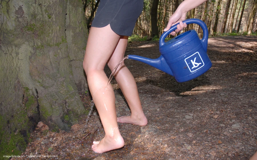
On the way back, you will pass the treading point of the Voßbach, where you can refresh your feet according to Kneipp's teachings.
To get back to Olsberg Touristik, i.e. the starting point of the hike, follow the signs from the village of Helmeringhausen, through the "wave" or along the road (cycle path).
Information
Directions
This 3rd stage of the Kneipp HikingTrail Olsberg starts at Olsberg Touristik, Ruhrstraße 32. It first goes to the reservoir. Follow the cycle path until you reach the main course of the Kneipp HikingTrail, which after approx. 2 km leads uphill to the left on a beautiful path towards Helmeringhausen. There you can enjoy a wonderful view of the young Ruhrtal. The route now continues uphill on the Kneipp HikingTrail marked K.It goes around the Schmalenberg and the Wiedegge up to the 729 m high Ohlenberg. Please pay attention to the small sign marking the path to the summit cross.On the way back, you will pass the treading point of the Voßbach, where you can refresh your feet according to Kneipp's teachings.To get back to Olsberg Touristik, i.e. the starting point of the hike, follow the signs from the village of Helmeringhausen, through the "wave" or along the road (cycle path).
Equipment
Safety guidelines
Author Tip
Literature
Maps
Public transit
Olsberg station: Hagen Kassel line
Bigge station: Dortmund Winterberg line


