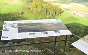
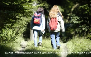
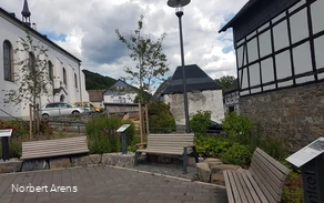
Starting point for the loop hikes through the Kelbketal Valley.
______________________________________
Coordinates for the navigation system (WGS 84):
GPS: N 51° 19' 32.3724 E 8° 13' 6.024
UTM: 32U 445536.47 5686330.46
51.325605412645174, 8.218613098367726
_______________________________________
The facility belongs to the Sauerland Rothaargebirge Nature Park Association (Naturpark Sauerland Rothaargebirge e.V.) and is maintained and cared for by the association.
However, if you notice any litter or damage, please notify us by email at info@npsr.de.
(Source: Naturpark Sauerland Rothaargebirge e.V.)